Specify draping options for imported data. Draping options determine the relationship between the imported data and the level of the terrain.
- Click


 to open the data sources panel.
 - Right-click on the desired data source to configure and select Configure.
- Select the Source tab.
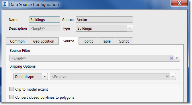
- In the Draping Options field, do the following:
- If the data lies on the terrain, select Drape.
If this data lies under the terrain, select Set Level.
- If there is a single property that represents the relationship between the data you're importing and the level of the terrain, select it from the drop-down list. Note: To specify a data source property to represent the level, click
 and enter an expression.
- If the data lies on the terrain, select Drape.
- Select Convert Closed Polylines to Polygons when importing coverage areas.