Zoom to different scales in your map to see the different line styles.
Video Tutorial
|
|
If you are connected to the internet, play the video to see how to view the road styles at different zoom levels. You can also click "Let Me Try" to try it yourself. The steps for this procedure are listed below the video. |
Note:
This exercise uses the build_map1.dwg map you created and modified in the previous exercises.
To see the styles at different zoom levels
- Use the Zoom Window tool to zoom in so you can see the labels and the composite lines. In the build_map1.dwg file, click
 . Tip:
The smaller you draw the zoom window, the larger the magnification.
- Zoom out to see thinner black lines for the roads.
- Zoom out even farther until the roads are not displayed.
- Save your map.
Where you are now
In the map, the roads are themed to display appropriately at different zoom levels.
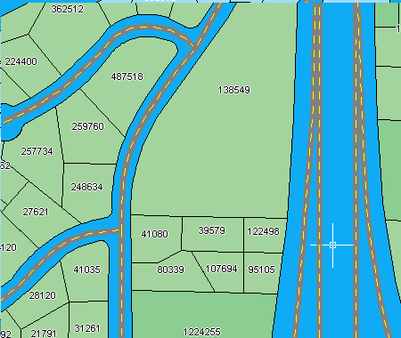
At a scale of 1:10000, the roads display the composite style.
To continue this tutorial, go to Lesson 4: Create Map Features.