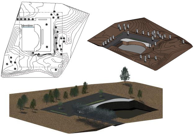
Sketch a toposurface, and then add property lines, a building pad, and parking and site components.
You can then create a 3D view of the site design or render it for a more realistic presentation.
Topics in this section
About Site Settings
You can modify a project's global site settings at any time. You can define contour line intervals, add user-defined contour lines, and select the section cut material.
Define Site Settings
Specify settings for contour lines, section graphics, and property data.
About Toposurfaces
The Toposurface tool defines a topographical surface (a toposurface) using points or imported data. You can create toposurfaces in 3D views or site plans.
About Property Lines
In addition to viewing property lines in a drawing, you can schedule, tag, and export them.