Create a map file using a standard template. Assign a coordinate system. Any data you add to your map is converted to that coordinate system.
Video Tutorial

|
Click the arrow button in the picture to see how to set the coordinate system for a map. The steps for this procedure are listed below the video.
|
To create a map
- Before you begin this tutorial, see Getting Ready to Use the Tutorials.
If you did not download the sample data for this tutorial, watch the video instead.
- From your desktop or the Start menu, start AutoCAD Map 3D (if it is not already running).
- Click
 and click New
 Drawing.
 - In the Select Template dialog box, select map2d.dwt and click Open.
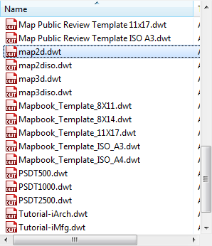
Select map2d.dwt
This file is an AutoCAD template that is set up to work with two-dimensional maps in AutoCAD Map 3D.
- Assign a coordinate system for your map.
- Click .
- In the Coordinate System - Assign dialog box, for Category, select "USA, California."
- Scroll down and select CA-I .
- Click Assign.
- Click
To continue this tutorial, go to Exercise 2: Use Data Connect to add data to your map.