The Infrastructure Map Server viewers provide a means of viewing a map in a web browser. After you have made your spatial data available on the Internet or on your intranet, users can display the data and interact with it in one of the viewers.
Infrastructure Map Server has three types of viewers:
- Basic Layout (or “zero-client viewer”) - does not need a download. Works in Microsoft Internet Explorer, Mozilla Firefox, Apple Safari, and Google Chrome browsers. Refer to the system requirements for the supported version of each browser.
- Flexible Web Layout - uses the popular Open Layers project for both non-tiled and tiled maps. Works in Microsoft Internet Explorer, Mozilla Firefox, Apple Safari, and Google Chrome browsers. Refer to the system requirements for the supported version of each browser.
- Mobile Viewer - a viewer designed specifically for small screen devices, such as the iPhone and iPad. (This is one of the Technology Preview components.)
You can customize the appearance of the viewer and select which toolbar commands you want to use with a template called a web layout. Of course, you can also add features and functions to the basic layout using your own program code.
The Infrastructure Map Server viewers:
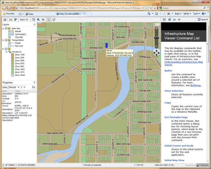
Basic Layout Viewer
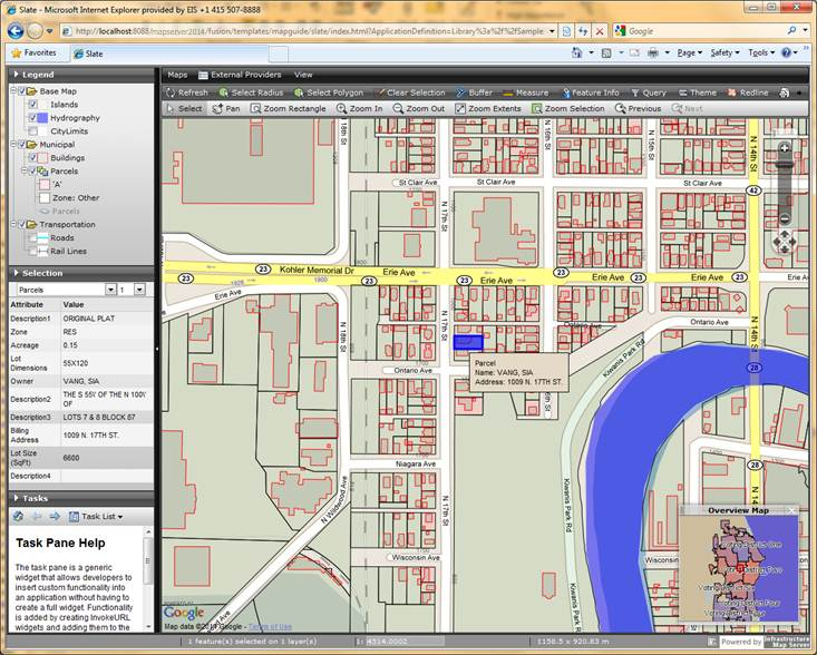
Flexible Web Layout Viewer