Many ground-based projects (commonly, but not limited to buildings and similar structures) will involve a point of interest (POI). This is essentially the midpoint from which to plan your mission and offer the best chance of certifying sufficient overlap of your photos. Typically, a path type, such as "lawnmower", which uses large, straight-lined paths, or similar, is programmed into the UAV. Conventional flight path types can involve large, overlapping orbit patterns using oblique or NADIR positions.
The schematic below reflects a simple circular orbit with a waypoint at every 10°, which would produce 36 photos:
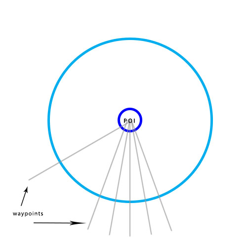
The above is an example of a recommended method for many capture cases, and applies very well to simple square or circular structures, such as buildings; essentially, normally shaped structures with a close 1W:1L ratio. Other areas, such as football fields or other large areas, tend to be mapped under a lawnmower-style UAV flight pattern.
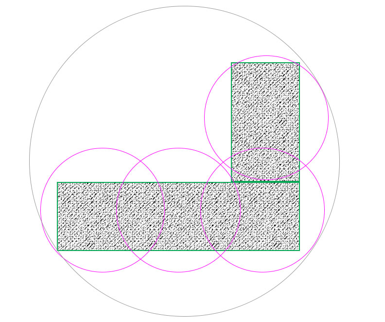
Alternately shaped objects might require additional orbits in order to gather the scene. This might involve adding some additional radii or elevations to the flight program:
When there is a need for even more intricate surfaces to be modeled or if it is impossible for your UAV to capture part of a scene, you might need to retract to a manual method, assuming conditions are safe to do so.
Despite the simplicity or intricacy of the intended reconstruction, it is generally essential to consider the distance from the imager to the POI for the best quality UAV project.