Stylize point clouds to help you analyze features within the point cloud. You can stylize based on the original scan colors, the AutoCAD object color, the normal direction of points, and if the required data exists in the point could, you can also stylize based on laser pulse return intensity, elevation, or LAS classification data.
Stylization Options
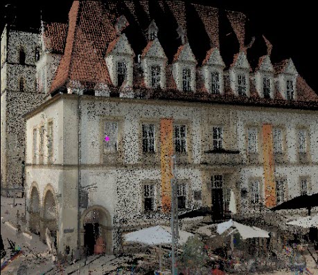
- Scan Color (RGB).Stylizes each point based on the original scan colors.

-
Object Color. Stylizes each point based on the point cloud object color property. Note: There may be variations of the object color depending upon lighting settings and whether normal information is stored with the points.

-
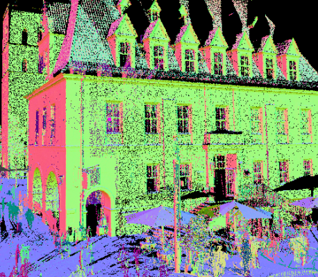
Normal.Stylizes each point based on the normal direction of the point based on a default color scheme that is not editable. When a point cloud is captured during scanning, a normal direction vector can be calculated for each point based upon the surrounding points. In this way, scanner software infers planar or curved areas; the normal of a point is then a vector perpendicular to the inferred plane or curved surface.
Using built-in colors assigned to the X, Y, and Z directions of the point cloud, normal stylization assigns one of these colors to each point, based on the direction of the normal for that point. The nearer the normal is to the X, Y, or Z direction in the drawing, the closer the point color is to the color assigned to that axis.

-
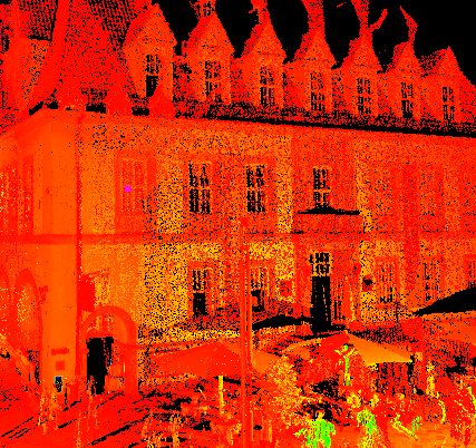
Intensity.Stylizes each point based on the laser pulse return intensity value. Scanners identify an intensity value for each point during the capture process. Intensity is a measure of point reflectivity, which can vary depending upon color, surface texture, surface angle, and the environment.

-
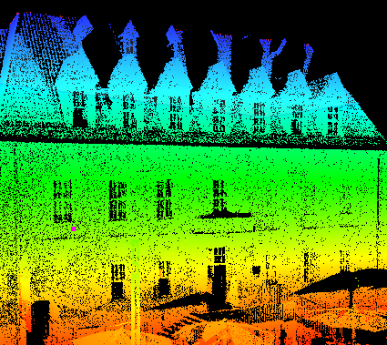
Elevation. Stylizes each point based on its Z value.

- Classification. Stylizes each point based on its standard LAS classification (as defined by the American Society of Photogrammetry and Remote Sensing). Scanner software that performs post-processing on scan files allows users to assign a classification to each point, such as ground, building, water, vegetation, roads, and transmission wires.
Color Schemes
You can customize the color schemes for Intensity, Elevation, and Classification stylizations with the POINTCLOUDCOLORMAP command.
For Intensity and Elevation, you can edit the number of colors and individual colors that make up the color ramp, and you can specify whether to show it as a gradient or as bands of individual colors. You can also change the range of points to which the color scheme applies, and specify how to display the out-of-range points.
For Classification, you can change the color assigned to each classification category.
Visual Effects
In addition to applying color stylization, you can also specify settings for lighting and shading.