You can use AutoCAD Raster Design toolset to edit and manage raster data. Raster data is a series of dots or pixels that form an image. This type of data is produced when you scan a paper drawing, blueprint, or photograph.
| Bitonal | Two-color line drawings, usually black and white, also called binary |
| Grayscale | Images with several different shades of gray, such as scanned black and white photographs |
| Color | Images with multiple colors, such as color aerial photographs |
Vector data, on the other hand, is created by mathematical equations that generate lines, arcs, and other AutoCAD objects. Vector data typically consists of points that define precise geometric shapes. This type of data is produced when you draw objects in AutoCAD.
 Raster |
 Vector |
If you use AutoCAD without AutoCAD Raster Design toolset, you can insert raster images into a drawing and modify their position, scale, and display values such as brightness and contrast. However, you need a raster editing program like AutoCAD Raster Design toolset to do any of the following:
- Permanently edit the raster data of your images
- Insert images that include correlation data into a drawing
- Save images to another format
- Export images to create external correlation files
In AutoCAD Raster Design toolset, image frames are defined as AutoCAD objects, which means you can assign a frame to a layer and change its color.
In this documentation, the term raster entities refers to the lines, arcs, and circles, including text, that make up a bitonal raster image.
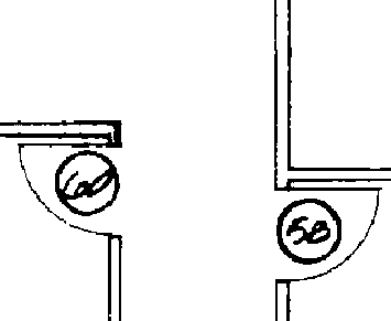
Raster entities
Converting raster entities to vector makes it easier to modify a drawing and can reduce the total file size of your project. After conversion, you can edit the vector entities using AutoCAD commands. To convert raster to vector, you can use the AutoCAD Raster Design toolset vectorization tools (VTools).
With raster entity manipulation (REM) commands, you can edit raster entities and regions with vector-like precision. You can create a selection set of a raster area or raster entities, then move, copy, or delete the selection set using native AutoCAD commands.