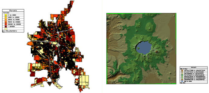
The legend helps viewers understand the color-coding in a map.
The legend includes all visible layers in the Display Manager (both drawing layers and geospatial feature layers). To show the ranges for a theme, make sure that the layer with the theme is expanded so that the ranges are visible. To ensure that a layer does not appear in the legend, clear its check box before generating the legend.
You can place a legend in any paper space viewport. You can create multiple display maps and associate each one with a specific paper space viewport. Each one can have its own legend. Since you can turn layers on and off for each viewport, the legends can differ.
Legend Style
The legend is displayed in a table. By default, legends use the Legend table style. You can modify the Legend table style, or link to an external style. If you need to share a drawing and its associated legend, you can choose to save the Legend table style as an external file to accompany the drawing.
Use Legend Properties to change the title of the legend, the items it includes, or the order of those items.
You can define and apply a different table style, using the AutoCAD TABLESTYLE command. The Table Style Editor is the standard AutoCAD dialog box, which links to the Text Style Editor. For more information, see the AutoCAD Help.