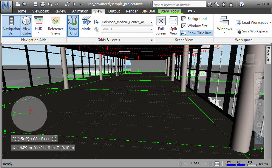
A grid is a set of lines, where the intersections of the lines are the grid points.
Grids and levels are displayed at each level of the building and are configured by default in relation to your camera position. For example, if you are standing on Level 2 of your building model, then the grid will be displayed in green on the floor below you, and displayed in red on the floor above you. You can change which levels of the grid are displayed, and in what colors, as required.
Grid locations are displayed on the Head-Up Display, showing the grid and level location of the camera relative to the active grid. The HUD display is based on the closest grid intersection to the current camera position, and the closest level below the current camera position.
You can customize the colors in which the grid is displayed, the font size on grid labels, and whether gridlines are drawn transparently when they are hidden by objects (this is known as X-ray mode).
Grid systems can be applied to models in Revit before importing them into Autodesk Navisworks.
Grids and levels perspective camera projection

Grids and levels orthographic camera projection
