A theme uses a range of colors to represent an analogous range of values. You can also use theming to show relative area, population density, water depth, or height of geographic features.
Note: This exercise uses the
build_map1.dwg map you created and modified in the previous exercises.
To style the parcels layer with a theme
- Open your finished map from the previous lesson.
- Click

 OpenDrawing.
- Locate build_map1.dwg.
- Select it, and click Open.
- Click
- Create a theme for the parcel layer.
A theme is a display style. You assign styles for geospatial features by layer.
- In Display Manager, select the Parcels layer and click Style.
Note: If the Style Editor is docked, move your cursor over it to display it. It might be docked at the left side of the application window.
- In the Style Editor, under Polygon Style For 0 - Infinity Scale Range, click New Theme.
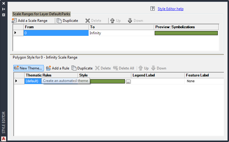
Click New Theme to define a theme for the Parcels layer.
- In Display Manager, select the Parcels layer and click Style.
To continue this tutorial, go to Exercise 2: Define the theme.