If necessary, you can change the coordinate system of data you add to your map.
- In Display Manager, click Data
 Connect To Data.
- In the Data Connect window, select the appropriate data provider in the Data Connections By Provider list.
- Navigate to the data store and select it.
- Click Connect.
- Hold your cursor over the name of the data store to see a pop-up window that displays its coordinate system, for example, UTM27-10.
When you add data to your map, you must specify its original coordinate system. AutoCAD Map 3D toolset automatically converts the data from that coordinate system to the one specified for your map.
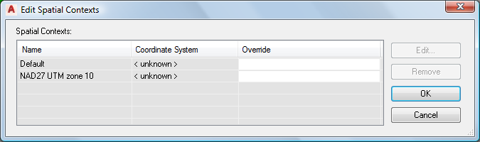
- Click Edit Coordinate Systems and, in the
Edit Spatial Contexts dialog box, click the entry.
Select the entry and click Edit to specify the coordinate system for the surface
- Click Edit.
- In the Coordinate System Library, select the coordinate system you saw in the pop-up window.
- Click Select and then OK to return to the Data Connect window.