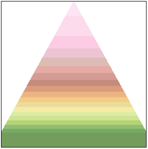
You can add a small image that displays how colors are mapped to elevation ranges from lowest to highest on a digital elevation model.

Sample elevation key
To make the elevation key more useful, add elevation values to the color bands.
You can add a small image that displays how colors are mapped to elevation ranges from lowest to highest on a digital elevation model.

Sample elevation key
To make the elevation key more useful, add elevation values to the color bands.