Work with EPSG and Mentor real-world coordinate systems or define your own. Use tools such as transform, rubber sheeting, and track coordinates to georeference your AutoCAD design data accurately.
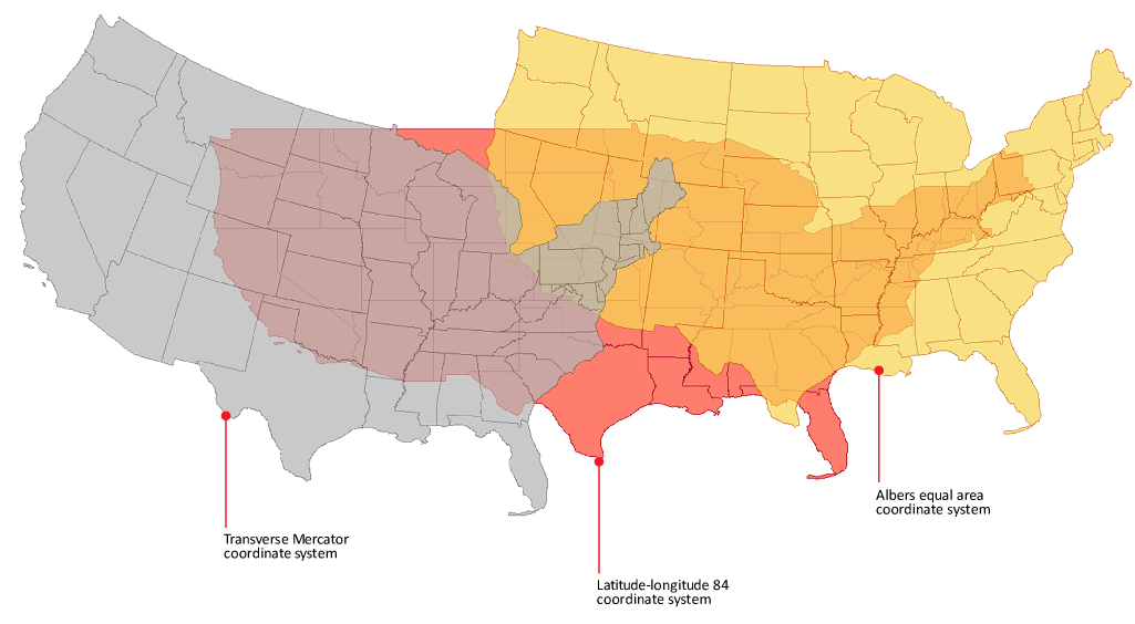
Coordinate systems determine how your map is projected in two dimensions.
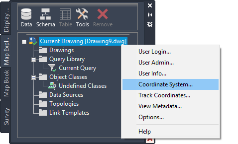
Assign a coordinate system to the drawing to locate it in real space.
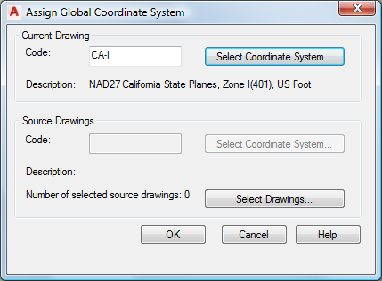
You can enter or select the appropriate coordinate system for the map.
Tell me more
|
|
|
|
|
 Procedures
 Related topics
Tell me more (Web Help Only)
 Video
Video
 Tutorial