Zoom to different scales in your map to see the different line styles.
Note: This exercise uses the
build_map1.dwg map you created and modified in the previous exercises.
To see the styles at different zoom levels
- Use the Zoom Window tool to zoom in so you can see the labels and the composite lines. In the
build_map1.dwg file, click
 .
Tip: The smaller you draw the zoom window, the larger the magnification.
.
Tip: The smaller you draw the zoom window, the larger the magnification. - Zoom out to see thinner black lines for the roads.
- Zoom out even farther until the roads are not displayed.
- Save your map.
Where you are now
In the map, the roads are themed to display appropriately at different zoom levels.
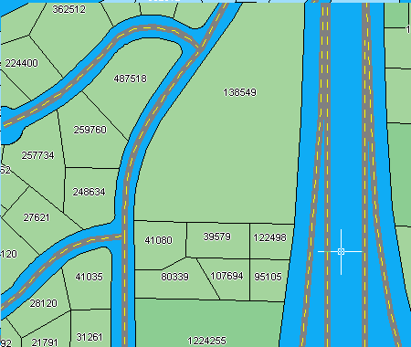
At a scale of 1:10000, the roads display the composite style.
To continue this tutorial, go to Lesson 4: Create Map Features.