The parcel layer in AnnotationTutorial.dwg is a geospatial feature class. The actual data is stored in an SDF file called Parcels.sdf. The map connects to this file and displays the geometry and data for the parcels in the map. You can style the parcels any way you like. The styling does not affect the data store itself. Styling is saved in the map, along with the information for connecting to the data store.
Unlike annotation for drawing objects, all features in the feature class are labeled. You do not have to select the features individually.
In this exercise, you use the Style Editor to add labels to the parcels.
To use a style to label features
- Open the map you edited and saved in the
previous lesson.
You used Save As to save the map with a new name.
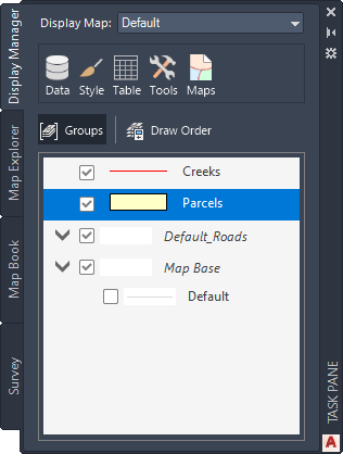
- In the Task Pane, switch to Display Manager, if it is not already displayed.
- Select the Parcels layer and click Style.
- In the Style Editor, click the cell under Feature Label in the lower half of the window.
- In the Style Label dialog box, do the following:
- Click Add Label.
- For Text Background Color, select No Color.
- For Text Content, select ADDRESS.

- Click Apply and then click Close.
- Close the Style Editor.

Labels display street numbers on the parcels in your map.
To continue this tutorial, go to Exercise 2: Use an expression to refine the labels.