Use a buffer to find areas of the enterprise zone that are within the flood zone and are also more than 5 miles from a hospital. Use the hospital points as the buffer origin and set the buffer distance to 5 miles.
This exercise uses the AnalyzeMapOverlay.dwg map you created and modified in Exercise 4: Overlay emergency response points.
To use a buffer to see which streets are far from a hospital
-
Click
 .
.
- In the Create Buffer dialog box, click Select Features.
- In your map, click each of the squares representing the two hospitals. Press Enter when both are selected.
You return to the Create Buffer dialog box, which now indicates that two features are selected.
- In the Create Buffer dialog box, set Distance to 5 and Units to Miles. Click OK.
Where you are now
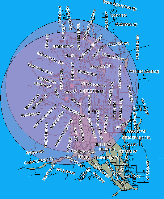
The map now displays two large circles, each with a five-mile radius. The center of each circle is a hospital. Areas outside the circles are more than 5 miles from either hospital. The street name labels help you determine which areas are most vulnerable when a flood occurs.
To continue this tutorial, go to Lesson 5: Edit a Predefined Workflow.