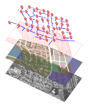
AutoCAD Map 3D toolset software integrates computer-aided design (CAD) and geographic information system (GIS) data. After working with the data, you can maintain it in a DWG™ file, convert it to an external file, or move it into a spatial database.
DWG Data
Maps are saved in DWG format. Open an AutoCAD drawing directly, or attach drawings and query in just the objects you want.
 |
|
Spatial Data
Connect to the data to include.
|
 |
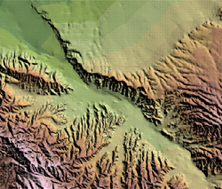
Raster Images
Add aerial photos, contour maps, and DEM surfaces.
|
 |
Connect to the data from the Task Pane.
|

The layers in Display Manager represent the data sources to which this map is connected. The Data Table lets you edit the information for individual items in a layer.
Import Data
You can import data, rather than connecting to it. Importing breaks the connection to the source and adds a “snapshot” of the data to your map. If the data changes after that, you will not see any changes in your map unless you import the data again. There is no way to update imported data in its source. Similarly, when you export data, you export the current data only. The connection to the live data is lost.
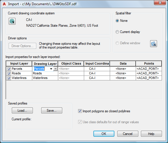
When you import data, you can structure it in your map. Assign data to layers or object classes. Add attribute data to object data tables. Assign a coordinate system. Specify that points come in as points, text, or blocks.
You can read, write, and convert data between standard formats.
Integrate Database Information
Join CAD objects to commonly used databases using link templates. Join geospatial data to ODBC data stores and databases using joins.
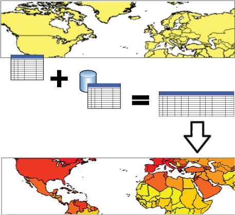
When you join a database to a feature layer, the properties from both data stores are available to that layer for theming and other purposes.
Add Survey Data
Bring in points you exported from Autodesk Civil 3D (LandXML) or ASCII data from a GPS device.
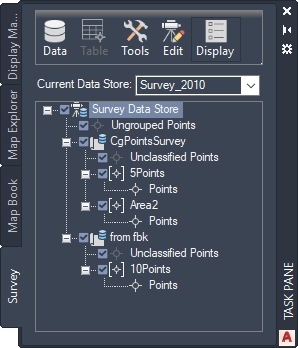
Use the Survey tab to import and organize survey data
Add Point Cloud Data
Bring in point cloud data from LiDAR Aerial Survey (.LAS) files or ASCII (.XYZ) files.

Use the Point Cloud Manager to bring in point cloud data
Tell me more
|
|
|
|
|
|
|
|
 Procedures
 Tutorial
 Related topics