Using DWG query functionality, multiple users can access, search, and edit the same sets of DWG files or base maps simultaneously.
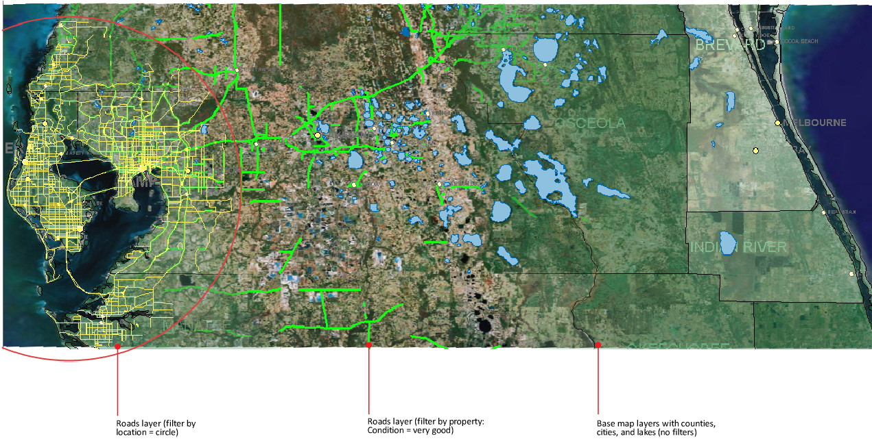
Use a property filter and a location filter to view the condition of roads in a circular area.
Use queries to filter data as you add it to your map. You can also filter data after you add it to your map. For example, use a query to select a subset of data.
Use geospatial and DWG queries to find a feature or object based on its location, its properties, or attribute data linked to it from another source.
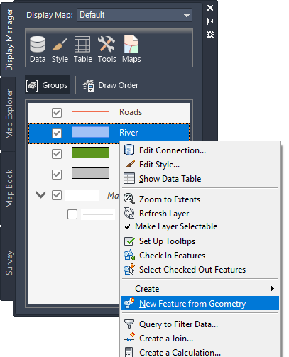
Apply a query to any feature layer in the Display Manager.
Tell me more
|
|
|
|
|
|
|
|
 Procedures
 Tutorial
 Related topic
 Video
Video