What is a map?
An AutoCAD Map 3D toolset map file is a window onto your information. It has links to all the data and images you include in your map:
- Standard AutoCAD objects
- Spatial data from a database or file
- Raster images
- Attribute data
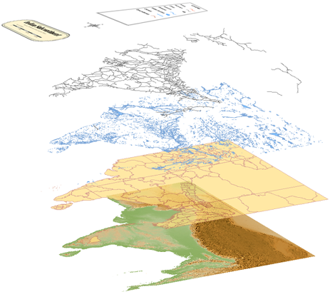
You can use multiple sources in a single map file. For example, attach a DWG file to your map file, query in some of its layers, and add them as Display Manager layers. Then, connect to a SHP file that becomes another layer in your display map, or add features from a geospatial database. The map file remembers all the connections and which objects you added to the map file.
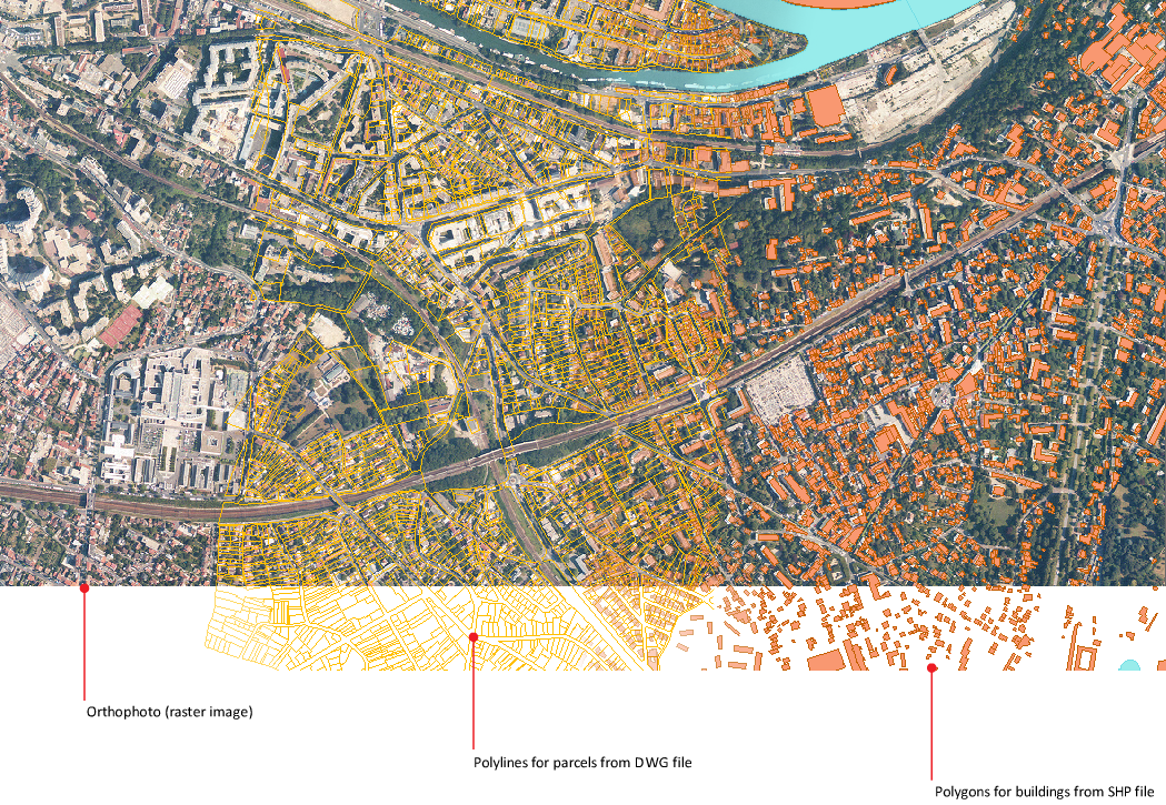
This map contains a photo raster image, building data stored in a SHP file, and parcel data stored in a DWG file.
What is the Display Manager?
You coordinate the data in your map using the Display Manager.
Each set of data is a Display Manager layer. For example, a raster layer can display an aerial photograph of a city. An SDF layer can display an SDF file representing parcels within the city. A drawing layer can display objects from the current drawing or from an attached drawing file.
Display Manager layers are not the same as AutoCAD layers.
In the Display Manager, you can style each layer separately, change the order of the layers, and view and plot the result. You can specify line styles, color, and weights; fill colors and styles; labels; and more.
What is in a map file?
Each AutoCAD Map 3D toolset map file contains the information for connecting to the data sources, drawings, raster images, and attribute data for its contents. It also stores queries, object data, styling information, printing layouts, and any customized settings.
Each data set is a layer in the map.
Whenever you open a map file, all this information is immediately available to you.
What is a data source?
A data source is any source of information that can be used in a map. It can be any of the following:
- A spatial database created with Oracle, SQL Server, or another relational database management system
- A file-based spatial data store, such as Autodesk SDF or ESRI SHP
- An AutoCAD drawing file
- A spreadsheet or other ODBC source that contains attribute data
- A raster image, such as a TIFF or DEM file
The relationship between the sources and the map file is dynamic. If the data in the source file changes, those changes are updated in your map file. When you change the objects in your map file, you can save those changes back to their original sources.
What can you do with a finished map?
You can share maps even with viewers who do not have access to AutoCAD Map 3D toolset. For example, you can share maps in the following ways:
- Print maps
- Save maps as DWFs (which can be viewed with Autodesk Design Review, available from the Autodesk web site)
- Publish maps to Infrastructure Map Server .
- Convert all the data to AutoCAD DWG data
- Post maps on the web
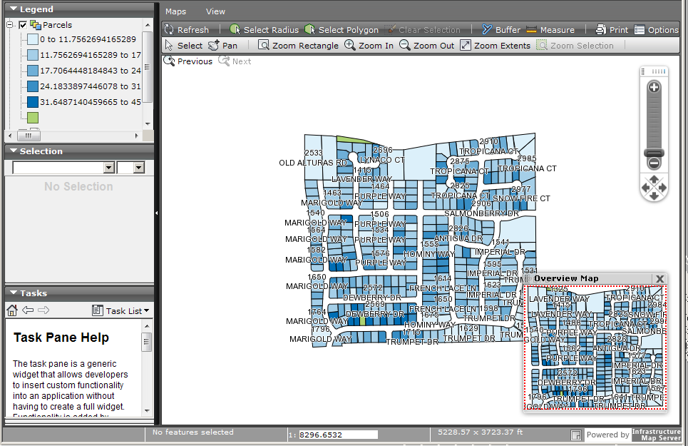
Publish to Infrastructure Map Server to share a map on the web.
AutoCAD cannot read some information in an AutoCAD Map 3D toolset file, such as links to external spatial data. To share a map with an AutoCAD user, convert all the data in your map to DWG format, including data from spatial data stores.
Tell me more
|
|
|
|
|
|
|
|
 Procedures
 Tutorial
 Related topics
 Video
Video