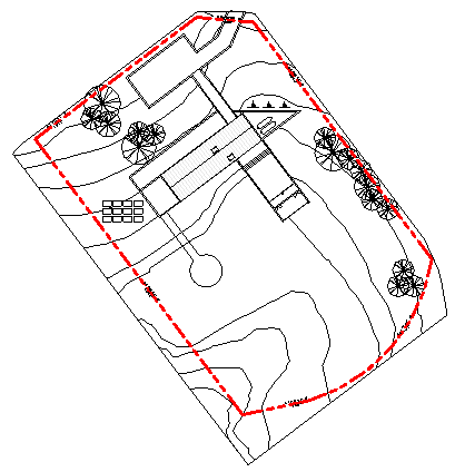
In addition to viewing property lines in a drawing, you can schedule, tag, and export them.
- Viewing: The display of property lines is controlled by the Visibility/Graphics dialog for each view. By default, property lines display only in the site plan. To display property lines in other plan views, open the Visibility/Graphics dialog. On the Model Categories tab, select Site. Expand Site, and select Property Lines.
- Scheduling. You can schedule property lines. The schedule can include the Name and Area property line parameters. (The format of the area comes from the Area Units Format type property of the property lines.) When you create the schedule, select Property Lines as the category to schedule.
- Tagging. You can tag property lines that can report square footage or acreage. Load the tags from the Annotations > Civil folder of the Revit family library. The tags are Property Tag - Acres.rfa (acreage), Property Tag - SF.rfa (square footage), and M_Property Tag.rfa (metric).
- Exporting. You can export property line area information when you export your project to an ODBC database.

Property lines on a topographical surface