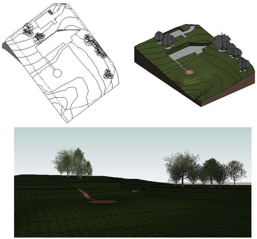
Create topography, and then add property lines, parking, and site components.
You can then create a 3D view of the site design or render it for a more realistic presentation.
Topics in this section
Sharing Topography between Revit LT and Civil 3D
To streamline the process of developing, using, and sharing topography data for a project, Revit LT supports interoperability workflows with Autodesk Civil 3D.
Toposurfaces
Models created in Revit 2023.1 and prior may contain toposurface elements to represent topography.
Building Pads
Models created in Revit 2023.1 and prior may contain building pad elements.
Toposolids
To represent the topography of the site, create a topoolid in the Revit model.
Property Lines
Add property lines to the site plan to indicate setbacks and the allowable building area.