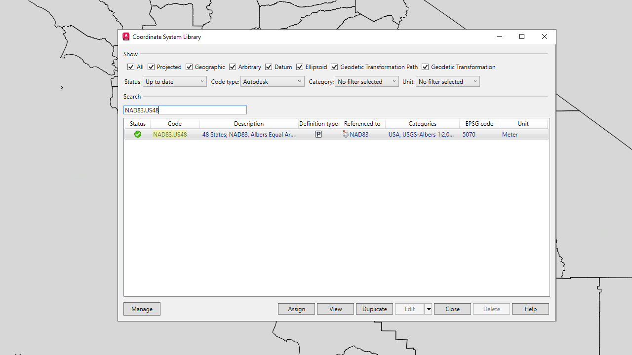
AutoCAD Map 3D 2025 now supports a range of new coordinate systems across various categories. These include:
- CGCS2000
- UKGG951
- Amtrak Northeast Corridor
- US Albers NAD83
- Iceland ISN2016
- Balkan Zone 7 in Slovenia

These additions allows you to work with a wider range of geographic data and coordinate systems.
AutoCAD Map 3D 2005 toolset also includes a new feature that allows you to use the new GEOCSASSIGN command to assign coordinate systems for both northing-easting and elevation.