This page details the mapping options available on the Data Acquisition Control page of the Static Demand Allocation wizard.
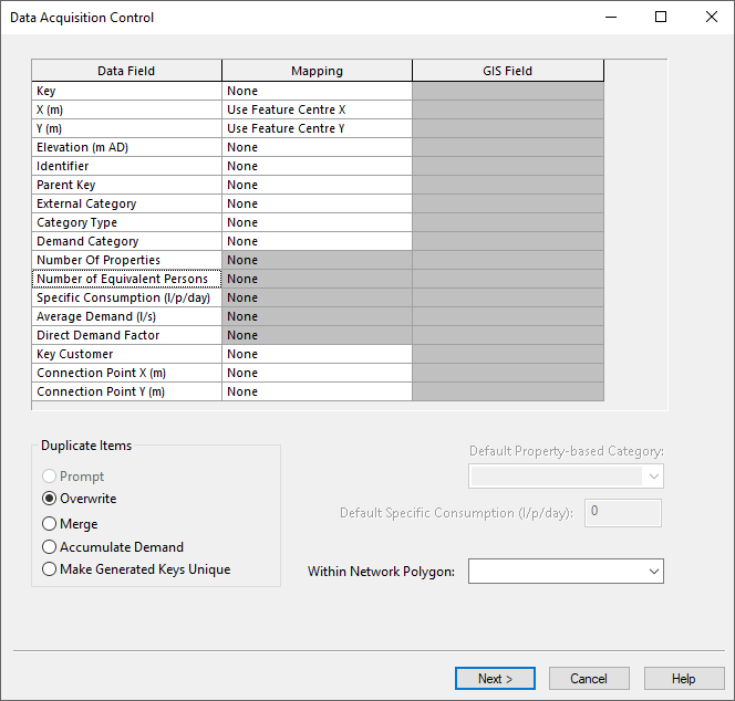
Mapping grid datafields
| Data field | Description | Required |
|---|---|---|
|
Key |
The Key field contains a unique identifier for the customer point objects within the database. Therefore, if more than one file of customer points is imported, it is not enough for the key to be unique just within the current file. If this field is blank, InfoWorks will generate a field name using the values in the X and Y fields. In order to ensure that points with generated keys do not overwrite existing points with the same key, use the Make Generated Keys Unique option |
YES |
|
X |
X coordinate of customer point |
YES |
|
Y |
Y coordinate of customer point |
YES |
|
Elevation |
Z coordinate of customer point |
|
|
Identifier |
For Information. Any additional identifier you may have for the customer point |
|
|
External Category |
You may have an external demand category name that does not match any of the categories in your demand diagram in InfoWorks. You can use this External Category name to map data onto InfoWorks demand categories during the import process on the special review page. |
|
|
Category Type |
This is a numeric field. The valid values for import are: 0 - property based demand 1 - average demand 2 - direct demand |
|
|
User Category |
The name of the InfoWorks User category (also called Demand category). |
|
|
Number of Properties |
The number of properties associated with the customer point |
|
| Number of Equivalent Persons | The number of equivalent persons associated with the customer point | |
|
Specific Consumption |
The daily consumption per property (there may be more than one property per customer point) |
|
|
Average Demand |
The average demand per customer point |
|
|
Direct Demand Factor |
A factor applied to a demand category created as Direct demand to adjust the demand category values. The factor will normally be 1.0 |
|
CSV data
The structure of the CSV file must be known in advance.
In the Mapping column there are several options available:
- map individual fields to specific fields in the data by using the Use Specified Field-> option. Enter the CSV field index in the CSV Field column. The CSV field index begins at 1 for the first field in each record. If the CSV file contains headers, check the Have Headers option to choose the column header in the CSV Field column.
- choose special mapping options for several fields that automatically link them to fields in the imported data, or generate values based on other fields (see the automated mapping options table below).
- select None if you do not want to map data for this field
Automated mapping options:
| Database field | Mapping | Result | ||||||
|---|---|---|---|---|---|---|---|---|
|
Category Type |
PropertyAverageDirect |
The object is given the chosen Category Type |
||||||
|
From Number of Properties |
The Category Type is worked out based on the number of properties:
|
|||||||
|
Number of Properties |
From Identifier |
The Number of Properties field is set as follows:
|
GIS data
In the Mapping column there are several options available:
- map individual fields to specific fields in the GIS data by using the Use Specified Field-> option. Select the GIS field name from the dropdown list in the GIS Field column
- choose special mapping options for several fields that automatically link them to fields in the imported data, or generate values based on other fields (see the automated mapping options table below).
- select None if you do not want to map data for this field
Automated mapping options:
| Database field | Mapping | Result | ||||||
|---|---|---|---|---|---|---|---|---|
|
Key |
Use Key Field |
The primary key in the GIS data, which should be unique, is used as the object reference |
||||||
|
X, Y |
Use Feature Centre X/Y |
The location of the object is taken directly from position information in the file |
||||||
|
Category Type |
PropertyAverageDirect |
The object is given the chosen Category Type |
||||||
|
|
From Number of Properties |
The Category Type is worked out based on the number of properties:
|
||||||
|
Number of Properties |
From Identifier |
The Number of Properties field is set as follows:
|