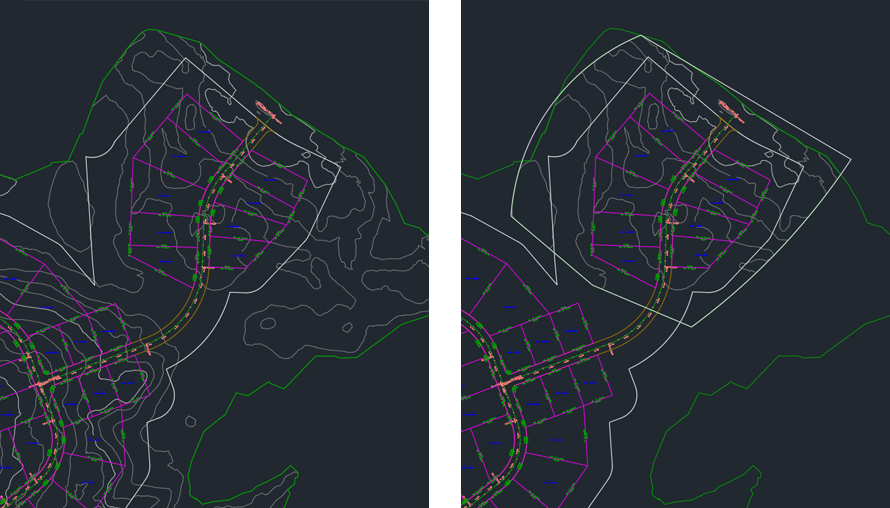
Learn about enhancements to surface workflows.
New in 2026.1
- Performance improvements have been made when exporting a surface to a Digital Elevation Model (DEM) or Tagged Image File Format (TIFF) formats.
New in 2026

Partial Surface Reference Creation
- Create partial surfaces by defining a boundaries to specify the display area of the surface. Boundaries are created by selecting existing polylines or sketching new polylines.
- Add, modify, and delete the reference boundaries.
- Support for publishing partial surface data references.
- Support for exporting partial surface data references as LandXML.
- API for support for partial surface data reference workflows.
For more information, see To Create and Work With Surface Reference Boundaries.