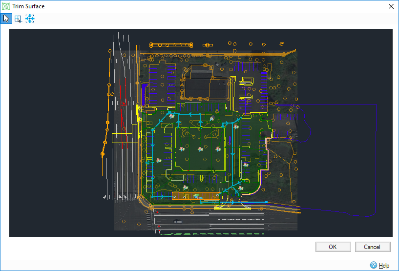
Trim Surface is used to define the boundary of the surface loaded in the Surface Data form to remove information that is not necessary by the design. I.e. if a large LIDAR tile has been simply loaded and it only requires a certain part of it.
Draw a polygon
The
Drawing Mode tool
 should be selected with no polygon drawn on the surface, then the drawing cursor
 will appear when entering on the plan.
- Draw a rectangle: left-click on the plan, hold down and band select the area. Release the mouse when finished.
- Draw a polygon: left-click on the plan to add the first point, then click as many times as you want to add points. Finish the polygon by right-clicking the mouse. During the drawing, you can press the 'Back' key to delete the last vertex, you can also cancel the drawing by pressing the 'Esc' key.
Edit the polygon
The
Drawing Mode tool
should be selected to edit the polygon.
| Action | Access |
| Move a vertex |
|
| Add a vertex |
|
| Delete a vertex |
|
| Drag the polygon |
|
| Remove the polygon |
|


Handle the plan
- Zoom in/zoom out by rolling the wheel of the mouse.
- Band zoom an area by selecting the
Band Zoom tool
 , then the band zoom cursor
 will appear when entering on the plan.
- Zoom to full size extents with the Extents tool
 .
.
- Drag the plan by holding down the wheel of the mouse and move it.
Trim the surface
After drawing the polygon, the surface is automatically trimmed by clicking OK, then the updated data is displayed in Surface Data.
The surface will not be trimmed if the polygon has crossing edges.