Elevation Measurement Tool
Display elevation by clicking vertices on dynamic clipping planes and other geometry.
The Point Elevation tool is located in the Measure menu of the main toolbar. This allows measurement of the exact elevation of any point in the model while the tool is active.
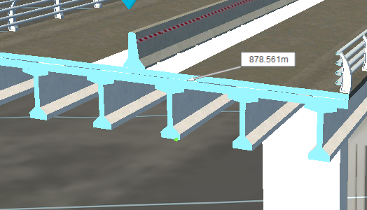
Point Elevation annotations can be added to any surface of the model using the traditional method for adding measurements (such as that used by the Point to Point Distance too). More precise Point Elevation annotations are now added to clipping plane cross section geometry by snapping to the vertices of the cross section.