Model Builder
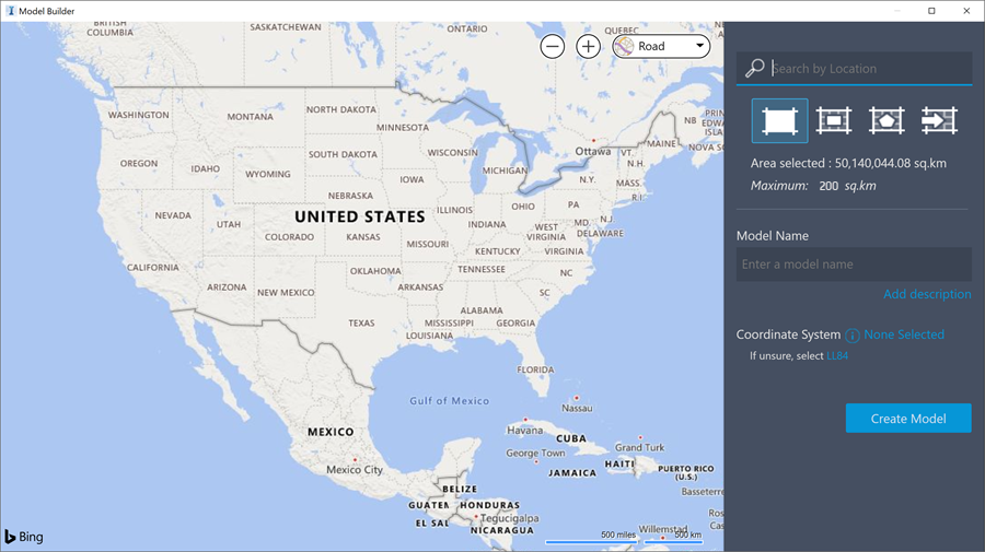
Model Builder uses the cloud to find data layers and then builds a model for an area you specify.
You can use the Model Builder with or without an Autodesk Docs account.
If you have an Autodesk Docs account, you can store your models in the BIM Autodesk Docs account project folder of your choosing.
If you do not have an Autodesk Docs account, you can store your models locally on your system.
Note: If you create an Autodesk Docs account after you have created local models, you can then publish your local models to Autodesk Docs account.
To access Model Builder, from InfraWorks Home, click Model Builder.

Model Builder Data Sources
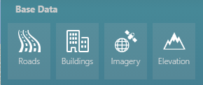
Hover your cursor over any of the data sets to view information about the data source.

Roads and Railways
OpenStreetMap's Highway and Railway data sets are used to create roads and railway features in the model.
Buildings
Building data is from the OpenStreetMap dataset.
Imagery
Satellite imagery from Microsoft® Bing Maps is draped over the model terrain.
Elevation
Global terrain data is available in 10- and 30 meter DEMs depending on the geographic location of your area of interest. Terrain data for the United States and its territories uses USGS 10 meter DEMs from the National Elevation Dataset (NED). Between -60° and +60° latitude we use SRTMGL1 30m DEM data. Between +60° and +83° latitude we use ASTER GDEM v2 30m DEM data.
Water
Water body data is also from the OpenStreetMap dataset.
For more information, see To create a model with Model Builder.