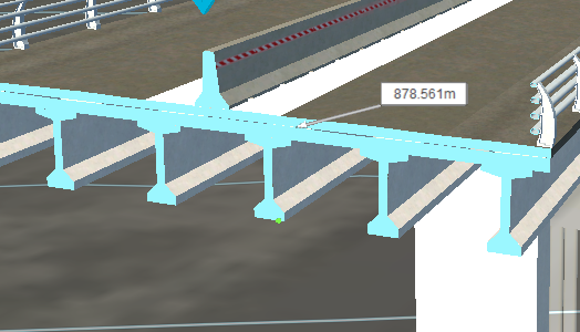
To measure the elevation of a point along geometry
Use the Point Elevation tool to measure the elevation of a point along geometry.
- Zoom out so you can see the area to measure and still distinguish a geometry vertex.
- Click
 (Measure) >
  (Point Elevation) or press (Ctrl+ME).
 - Click the vertex, and then click off to the side to temporarily add an elevation tag and leader line.