Glossary
Annotations
User-generated material within the project; can include notes, measurements, and markup.
Attaching
Opening, or attaching, indexed scan files in other Autodesk software to provide realistic context for 3D models.
Clipping
Provides a way to limit what is displayed in the point cloud. There are two methods for clipping:
During indexing: As you import scan files, you can set the size of a point cloud by specifying a range that represents:
- the distance from the scanner
- the minimum and maximum intensity values
On the project screen: Select an area of the point cloud and specify whether to clip inside or outside the boundaries.
Color Modes
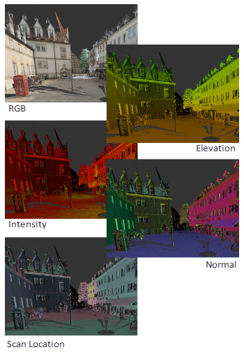
A method of obtaining information about a point cloud by displaying it in colors that indicate information such as elevation, intensity, and normal directions.
Edge Highlighting (lighting settings)
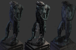
A display style based on the darkening of points that are inferred to lie on the same plane.
Elevation
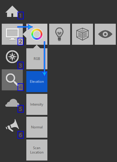
A view of the model in which the z axis is pointing up. You can set an Elevation color mode that uses color to identify the height of various elements in the point cloud.
Fence
A tool that selects an area that is bounded by the points you select; especially useful for selecting irregularly shaped areas.
Field of View
The extents of the camera view. This option is set in Preferences.
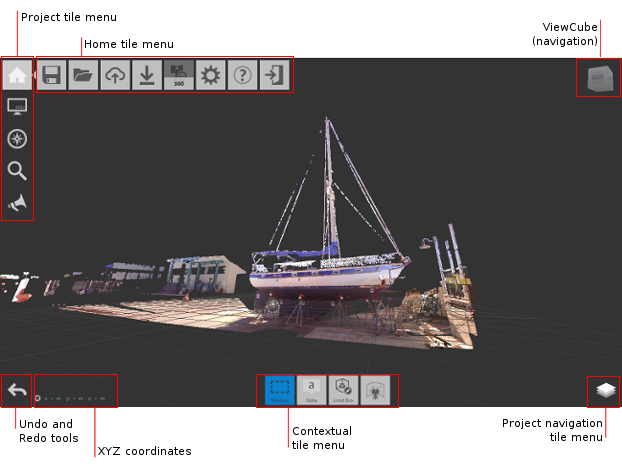
Flyout
In the UI, a set of tiles (or buttons) that expand and collapse as the cursor moves across the base tile.
Gradient Ramp
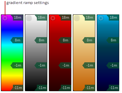
A linear band of colors that represent height (Elevation) or materials (Intensity). You can use one of five preset color schemes or create a custom gradient ramp.
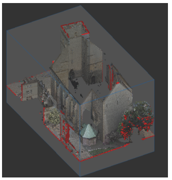
Highlight Edges (Limit Box boundaries)
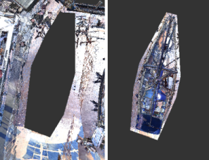
A method of highlighting the intersection of points with the boundaries of a Limit Box.
Hotkeys
Also known as keyboard shortcuts, this describes the user pressing a singular or combination of keys in order to execute a command. For ReCap's purpose, these actions might also include the mouse. For a list of hotkeys from the main screen, click here.
Indexing
The process of structuring a raw scan file so that it can be opened in a CAD product.
Intensity
Color mode that controls chroma, colorfulness, and saturation.
Lighting Sides
Specifies whether the lighting direction should be from a single side, two sides, or be more general.
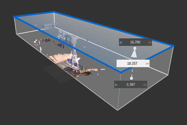
Limit Box
A temporary 3D box that defines the visible extents of the point cloud.
Mesh
Common type of 3D modeling that includes a collection of vertices, edges, and faces that reflect the shape of an object. Mesh modeling allows for capabilities of creasing, freeform sculpting, and smoothing.
Mini-map
A top-down map of the project with interactive points associated with individual scans.
Mirror Balls
Proprietary term; should appear only for navigating through structured scan data types. Essentially, they reflect the origin of the laser scan and provide RealView access.
Normals
Objects (such as vectors or lines) that are perpendicular to another object; for ReCap's purpose, point cloud normal help to identify surfaces.
Object Mesh
This cloud-based data service feature converts your laser scan groups into meshed 3D models and is capable of parsing complex data into real-world objects.
Ortho Mode
Orthogonal measurement mode; measure only in right angles / limits the cursor to horizontal or vertical directions.
Orthophoto
An aerial photograph geometrically corrected to a uniform scale; the photo ultimately has the same lack of distortion as a map.
Photogrammetry
The science of using photography to measure distances between objects; can actually map exact surface points used to create mesh.
Pipe Snap
Specific to ReCap (Pro); when this mode is active the distance tool automatically detects any cylindrical object under the cursor.
Point
An object/data that occupies a single coordinate (x,y,z) location.
Point Cloud
A set of points which are often are intended to represent the external surface of an object.
Point Cloud Face
A portion of a point cloud in which all the points are in planar alignment.
Project Cleanup
Identifies "bad" points and is capable of removing (cleaning up) objects (such as people or cars) who are constantly moving through a static environment.
Project Screen
The screen where you can view and modify aspects of an indexed point cloud.
RCS format (proprietary)
Reality Capture Scan exclusive to ReCap; when importing, the program converts to RCS format, which can be read by other Autodesk applications.
RealView
360° panoramic mode that allows users to navigate the project in real-world perception.
Registration
Specific to scan projects; merges scans into one cohesive point cloud, either automatically (Auto-Registration) or manually (Manual Registration).
Scan Location
The location of the scanner when it captured the data.
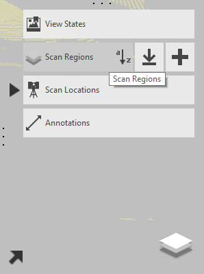
Scan Regions
Non-overlapping areas that are defined in a point cloud for the purpose of filtering the display of meaningful volumes in the scene.
Scanning
The process of capturing point data using a 3D laser scanner.
Scene
The point cloud, as displayed on the Project Screen.
Shader Model
Options are Phong and Lambert; shader stages in the rendering pipeline.
Smooth Gradient Ramp
A gradient ramp with a blended transition between colors.
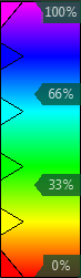
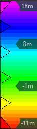
Stepped Gradient Ramp
A gradient ramp in which the colors remain distinct from one another.
Stitching
Specific to photo projects; similar to registration, but links images together by either automatic 3D mesh reconstruction of a group of images or by manual user input.
Structured scan data
Can include file types CLR, FLS, ZFS, PTX, PTG, some types of CL3, and some types of E57.
Tiles
The "buttons" that initiate activities or change settings.
UAV
Unmanned Aerial Vehicle; unpiloted, either remote-controlled or autonomously programmed. ReCap is one of the few programs that manages photography files taken from these vehicles