
Display the Data Table for the construction-zone parcels. Export the data to a comma-separated file. You can use the data in any way you like. For example, use it in a report, or to create a mailing list for the owners of the construction-zone parcels.
Note:
This exercise uses the AnalyzeMap1.dwg map you created and modified in the previous exercises.
To export the construction-zone parcel data
- In Display Manager, select the construction-zone parcel layer and click Table.
- In the Data Table, right-click the left-most column and click Select All.
- Click Options (at the bottom of the table) and click Export.
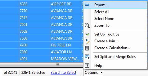
Export property information from the Data Table.
- Specify a name and location for the file and click Save.
- Save and close your map file.
Where you are now
You exported information from the Data Table as a comma-separated file that can be used to generate a report.
To continue this tutorial, go to Lesson 4: Performing a Flood Analysis