Define a User Coordinate System
While working in the expanded view of the Mini-Map, you can adjust the XY axis of the User Coordinate System to align with the World Coordinate System. This is an alternative method of using the Update Origin tool, allowing you to specify a user coordinate system.
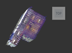
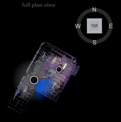
In this example, notice the orientation of the scan to the compass.

From the 3D View open RealView.
Expand the mini-map to full-screen mode. Click the top face of the ViewCube.

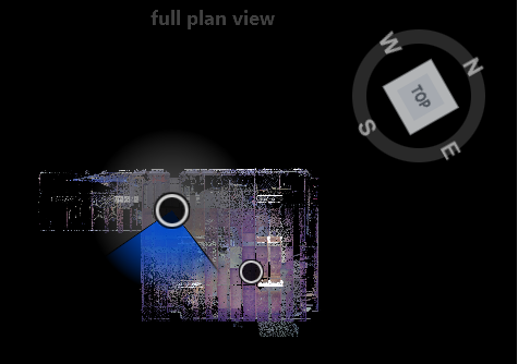
Right-click drag left and right to rotate the scan to the desired orientation in the full plan view.

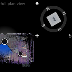
Hover over the ViewCube and notice icons. Click ![]() to align the user current coordinate system that you just specified to the world coordinate system. This may take a few seconds. This method is similar to specifying orientation with the Display Settings > Points > Update Origin tool.
to align the user current coordinate system that you just specified to the world coordinate system. This may take a few seconds. This method is similar to specifying orientation with the Display Settings > Points > Update Origin tool.

You can now revert to this User Coordinate System orientation at any time by clicking the house icon above the ViewCube.
You can also revert to the World Coordinate System at any time by clicking ![]() . This method is similar to resetting orientation with the Reset Origin tool.
. This method is similar to resetting orientation with the Reset Origin tool.
Expand RealView to full screen and then open the 3D View. Then, click the top face of the ViewCube and zoom out to view the new orientation of the scan.

