View videos that demonstrate AutoCAD Civil 3D functionality.
Use the following links to jump to a task category.
Get Started
|
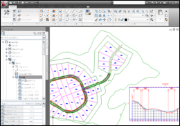
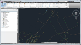
 Understanding the User Interface
Familiarize yourself with the user interface. |
|
Import and Purge Styles
Import styles and settings from a template or drawing, and purge unused styles and settings. |

|
Create Data Shortcuts
Create reference copies of objects that you can import from one drawing into other drawings. |
|
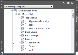
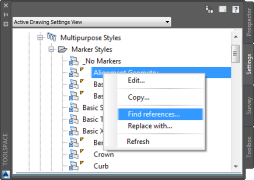
Find and Replace Styles
Find objects and settings that reference a style, and then replace one style with another. |
|
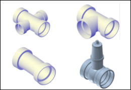
Creating a Pressure Network Parts List
Define the components that are available when you lay out a pressure network. |
|
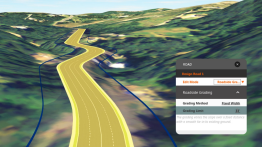
Autodesk AutoCAD Civil 3D with Autodesk Roadway Design for InfraWorks 360
Accelerate the design process using workflows that take advantage of interoperability between Autodesk AutoCAD Civil 3D and Autodesk Roadway Design for InfraWorks 360. |
 00:03:27
 No Audio
 With Audio
Import and Create Base Data
|
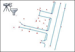
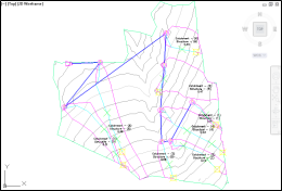
Query Survey Data
Create a query to filter the contents of a survey database. |
|
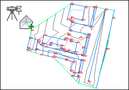
Add Survey Query Results to a Surface
Use the results of a survey query to build a surface. |
|
Update Imported Survey Data
Modify imported survey data using import events. |
|
Import Points from a Database
Import COGO points from a database into a drawing. |
|
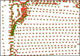
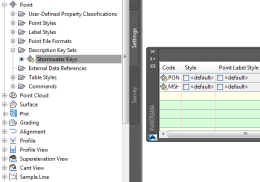
Create a Description Key Set and Description Keys
Create sets of description keys to sort points as they are imported into a drawing. |
|
Exchange Data Between Autodesk InfraWorks and AutoCAD Civil 3D
Export objects from a conceptual model into AutoCAD Civil 3D for detailed design and analysis. |
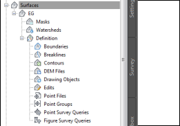
Model a Surface
|
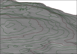
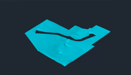
Create a Surface
Create a TIN surface definition, and then import point data into the surface definition. |
|
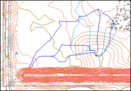
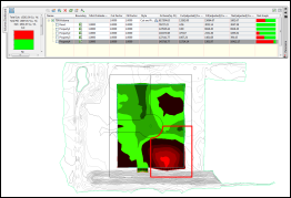
Create Catchments
Create catchment objects to model drainage areas on a surface. |
|
Create a TIN Surface
Create an empty TIN surface definition. |
|
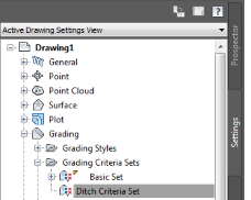
Create a Grading Criteria Set and Criteria
Create sets of standard formulas for creating graded slopes. |
|
|
Add Data to a Surface
Add contour data to an existing surface definition. |
|
Gradient from a Building Footprint
Gradient from a building footprint to a surface. |
|
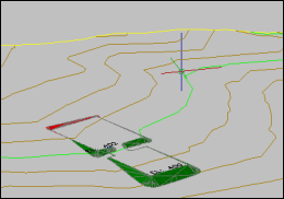
Create Waterdrop Paths
Create waterdrop paths to analyze surface water runoff. |
|
Use a Surface as a Hide Boundary
Visualize two overlapping surfaces by using one surface as a hide boundary for the other. |
Design Horizontal and Vertical Objects
|
Create Plots
Create plots from AutoCAD objects. |
|
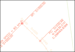
Label Alignment Intersection Points
Display and label explicit and implied intersection points on an alignment. |
|
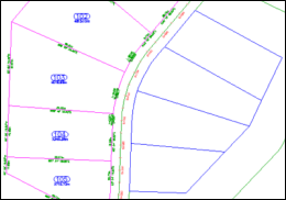
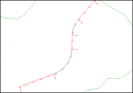
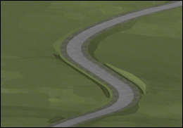
Create an Alignment
Draw a horizontal alignment using constraint-based alignment layout tools. |
|
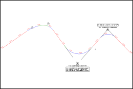
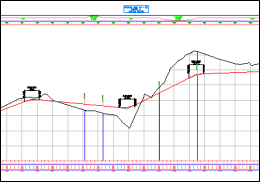
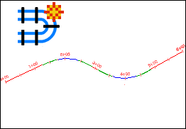
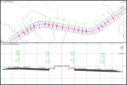
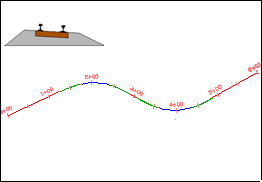
Design a Simple Profile
Create simple existing ground and layout profiles for an alignment. |
|
Grip Edit an Alignment
Graphically modify alignment geometry. |
|
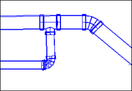
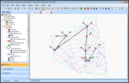
Create a Pipe Network
Design a pipe network using an existing polyline, and then use the Pipe Network Layout Tools to add structures and pipes. |
|
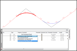
Alignment Tangency Constraints
Work with the constraints that affect how alignment sub-entities maintain tangency to adjacent sub-entities. |
|
Create a Rail Alignment
Specify the properties and lay out the geometry of a railway alignment. |
|
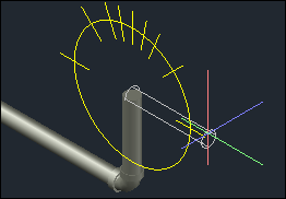
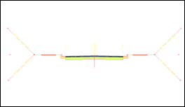
Lay Out a Pressure Network in Plan
Lay out the horizontal design of a pressure network. |
|
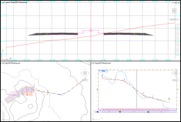
Lay Out a Pressure Network in Profile
Refine the vertical design of a pressure network. |
|
Create a Pressure Network from a Water Industry Model
Create a pressure network from a water industry model that was created in AutoCAD Map 3D. |
|
Drawing and Editing a Pressure Network in Model
Lay out and edit a pressure network in the model view. |
|
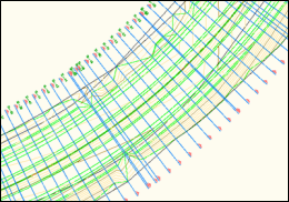
Adjust the Accuracy of a Corridor Model
Accurately model corridor curves and apply clean transitions at offset targets. |
|
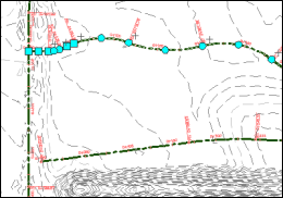
Lock a Profile to Alignment Geometry
Anchor layout profile geometry to alignment geometry. |
Model a Corridor
|
Create a Corridor Assembly
Create a corridor cross section that can be placed at intervals along an alignment, and then connected together to form a corridor model. |
|
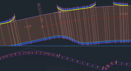
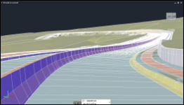
Create a Basic Corridor
Create a sectional assembly of a corridor, and then create a corridor by applying the assembly along an alignment and profile. |
|
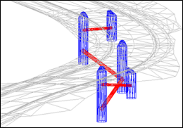
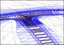
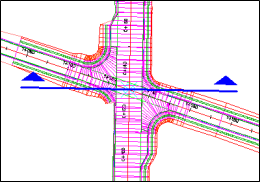
Create a Junction
Create a three-way junction that maintains the crowns of both intersecting roads. |
|
Edit a Corridor in Section
Explore some of the powerful tools in the AutoCAD Civil 3D Section Editor. |
|
Superelevation Axis of Rotation
Design a superelevated carriageway that uses axis of rotation pivot points. |
|
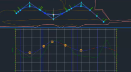
Create Sample Lines
Create sample lines along the centerline alignment of a corridor model. |
|
Calculate Cant Along an Alignment
Calculate the amount by which rails are raised or lowered through a curve. |
|
Sample Multiple Baselines
Use a single section to sample multiple baselines or corridors at the same time. |
Analyze Data
|
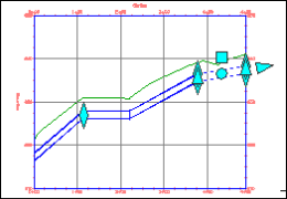
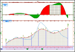
Create a Mass Haul Diagram
Create a mass haul diagram that displays free haul and overhaul volumes for a project site. |
|
Export Data to Autodesk Storm and Sanitary Analysis
Export catchments and a pipe network to the Autodesk Storm and Sanitary Analysis application. |
|
Calculating Cut and Fill Volumes
Calculate a site's cut and fill volumes and see the calculations change dynamically as you modify the surface. |
|
Drive Along a Linear Object
Use the Drive command to visualize a model by traversing along a linear path. |
Annotate Objects
|
Rotating Unanchored Labels
Move and rotate an unanchored label, independent from its insertion point marker. |
|
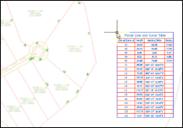
Convert Plot Segment Labels to Tags for Display in a Table
Add plot segment labels, and then convert the labels to tags that correspond to the contents of a table. |
|
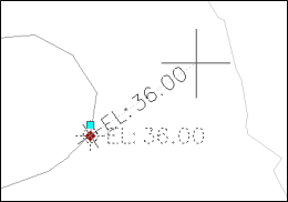
Edit Text in a Label
Add text to an instance of a label. |
|
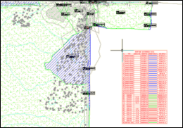
Add a Watershed Legend Table
Add a surface watershed legend table to a drawing. |
|
Label Corridor Points in Section Views
Use a label set to label corridor points in section views. |