| Point to Point Measurement
|
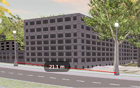
- Measure horizontal and vertical distances.
- If you have a large (global) model, you can measure the distance between distant points.
- Measure the distance between objects that are above or on the ground and objects that are below the ground.
- Measure a single object's width, length and height.
|

|
| Measure Along a Polyline (Path Distance)
|
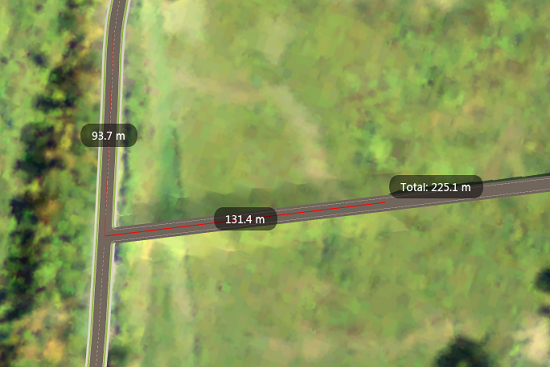
- Measure horizontal and vertical distances.
- Measure polyline distances in which some points are above or on the ground and others are below the ground.
- Measure a single object's width, length and height.
|

|
| Determine the Distance of an Object from the Current Viewpoint (Rangefinder)
|
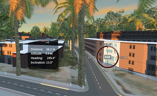
- Measure distances at any angle.
- Measure distances in which some points are above or on the ground and others are below the ground.
|

|
| Measure Terrain Area and Volume
|
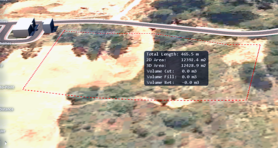
- Measure the volume of items that are draped on the terrain, such as water features, by clicking the perimeter.
- If you change the elevation of the measured area,
Terrain Area/Volume will display the volume of that area before and after the change.
|

|


