View videos that demonstrate AutoCAD Civil 3D functionality.
Use the following links to jump to a task category.
Get Started
|
 Understanding the User Interface
Familiarize yourself with the user interface. |
|
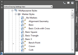
Import and Purge Styles
Import styles and settings from a template or drawing, and purge unused styles and settings. |
|
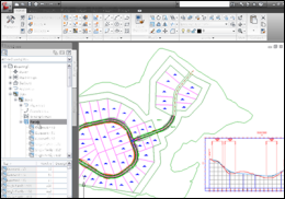
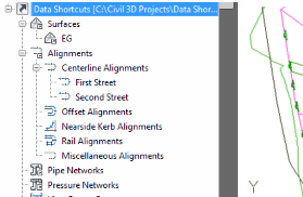
Create Data Shortcuts
Create reference copies of objects that you can import from one drawing into other drawings. |
|
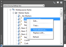
Find and Replace Styles
Find objects and settings that reference a style, and then replace one style with another. |
|
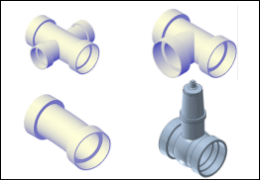
Creating a Pressure Network Parts List
Define the components that are available when you lay out a pressure network. |
 00:03:27
 No Audio
 With Audio
Import and Create Base Data
|
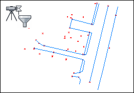
Query Survey Data
Create a query to filter the contents of a survey database. |
|
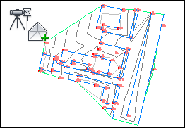
Add Survey Query Results to a Surface
Use the results of a survey query to build a surface. |
|
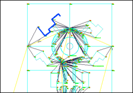
Update Imported Survey Data
Modify imported survey data using import events. |
|
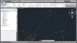
Import Points from a Database
Import COGO points from a database into a drawing. |
|
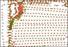
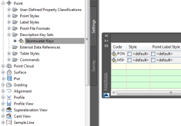
Create a Description Key Set and Description Keys
Create sets of description keys to sort points as they are imported into a drawing. |
Model a Surface
|
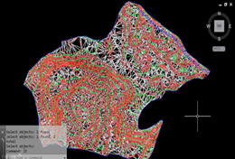
Create a Surface
Create a TIN surface definition, and then import point data into the surface definition. |
|
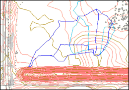
Create Catchments
Create catchment objects to model drainage areas on a surface. |
|
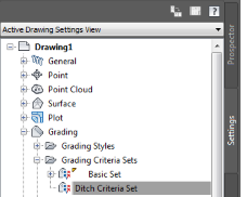
Create a Grading Criteria Set and Criteria
Create sets of standard formulas for creating graded slopes. |
|
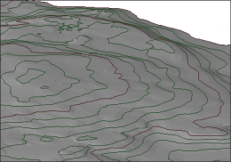
Add Data to a Surface
Add contour data to an existing surface definition. |
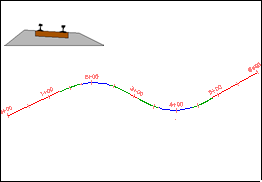
|
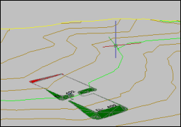
Gradient from a Building Footprint
Gradient from a building footprint to a surface. |
|
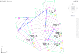
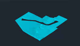
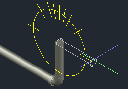
Create Waterdrop Paths
Create waterdrop paths to analyze surface water runoff. |
|
Use a Surface as a Hide Boundary
Visualize two overlapping surfaces by using one surface as a hide boundary for the other. |
|
Use relative feature lines to Model a Surface
Set feature line levels to be relative to a reference surface and add the relative feature lines to a different surface as breaklines. |
Design Horizontal and Vertical Objects
|
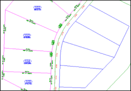
Create Parcels
Create plots from AutoCAD objects. |
|
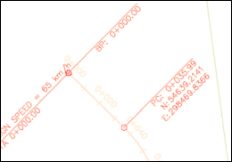
Label Alignment Points of Junction
Display and label explicit and implied intersection points on an alignment. |
|
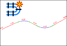
Create an Alignment and Profile
Draw an alignment using constraint-based alignment layout tools and create simple existing ground and layout profiles for the alignment. |
|
Grip Edit an Alignment
Graphically modify alignment geometry. |
|
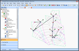
Create a Pipe Network
Design a pipe network using an existing polyline, and then use the Pipe Network Layout Tools to add structures and pipes. |
|
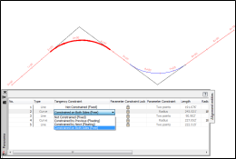
Alignment Tangency Constraints
Work with the constraints that affect how alignment sub-entities maintain tangency to adjacent sub-entities. |
|
Create a Rail Alignment
Specify the properties and lay out the geometry of a railway alignment. |
|
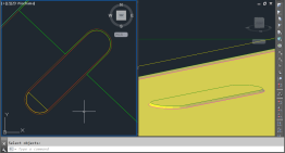
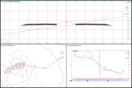
Lay Out a Pressure Network in Plan
Lay out the horizontal design of a pressure network. |
|
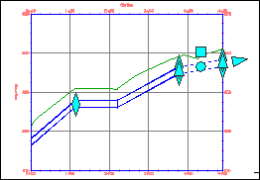
Lay Out a Pressure Network in Profile
Refine the vertical design of a pressure network. |
|
Create a Pressure Network from a Water Industry Model
Create a pressure network from a water industry model that was created in AutoCAD Map 3D. |
|
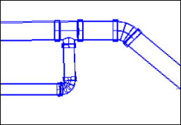
Drawing and Editing a Pressure Network in Model
Lay out and edit a pressure network in the model view. |
|
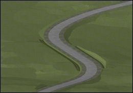
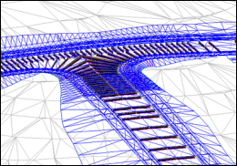
Adjust the Accuracy of a Corridor Model
Accurately model corridor curves and apply clean transitions at offset targets. |
|
Lock a Profile to Alignment Geometry
Anchor layout profile geometry to alignment geometry. |
Model a Corridor
|
Create a Corridor Assembly
Create a corridor cross section that can be placed at intervals along an alignment, and then connected together to form a corridor model. |
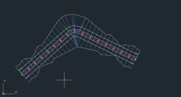
|
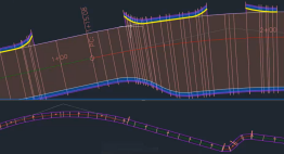
Create a Basic Corridor
Create a sectional assembly of a corridor, and then create a corridor by applying the assembly along an alignment and profile. |
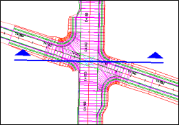
|
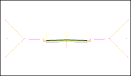
Create an Intersection
Create a three-way junction that maintains the crowns of both intersecting roads. |
|
Edit a Corridor in Section
Explore some of the powerful tools in the AutoCAD Civil 3D Section Editor. |
|
Superelevation Axis of Rotation
Design a superelevated carriageway that uses axis of rotation pivot points. |
|
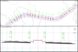
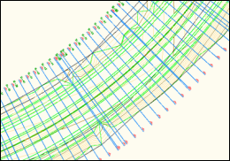
Create Sample Lines
Create sample lines along the centerline alignment of a corridor model. |
|
Calculate Cant Along an Alignment
Calculate the amount by which rails are raised or lowered through a curve. |
|
Sample Multiple Baselines
Use a single section to sample multiple baselines or corridors at the same time. |

|
Leveraging Corridors in Site Design
Design site components and produce surfaces, volumes, and sectional representations of the components by leveraging the AutoCAD Civil 3D corridor modeling tools. |
|
Clear Corridor Bowties
Clear bowties on fixed width and variable width corridors. |
Analyze Data
|
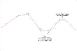
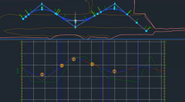
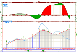
Create a Mass Haul Diagram
Create a mass haul diagram that displays free haul and overhaul volumes for a project site. |
|
Export Data to Autodesk Storm and Sanitary Analysis
Export catchments and a pipe network to the Autodesk Storm and Sanitary Analysis application. |
|
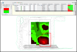
Calculating Cut and Fill Volumes
Calculate a site's cut and fill volumes and see the calculations change dynamically as you modify the surface. |
|
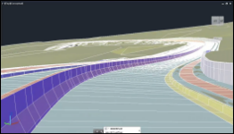
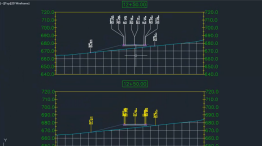
Drive Along a Linear Object
Use the Drive command to visualize a model by traversing along a linear path. |
Annotate Objects
|
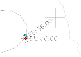
Rotating Unanchored Labels
Move and rotate an unanchored label, independent from its insertion point marker. |
|
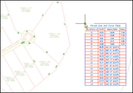
Convert Parcel Segment Labels to Tags for Display in a Table
Add plot segment labels, and then convert the labels to tags that correspond to the contents of a table. |
|
Edit Text in a Label
Add text to an instance of a label. |
|
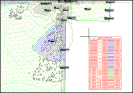
Add a Watershed Legend Table
Add a surface watershed legend table to a drawing. |
|
Label Corridor Points in Section Views
Use a label set to label corridor points in section views. |
|
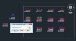
Bind Drafting Elements to Section Views and Move Section Views to a Section View Group
Bind drafting elements to section views and move individual section views to a section view group. |