In this lesson, you "drape" an image over the ground plane, providing visual interest and a context for the road you are creating.
Set up the lesson:
- Continue working on your scene from the previous lesson or
 open
\civil_view\linkroad_1.max.
open
\civil_view\linkroad_1.max.
Open the Civil View Explorer:
- In the viewport,
 select the checkered ground plane,
C3Dsurface-C-SURFACE-GroundExtgContext.
select the checkered ground plane,
C3Dsurface-C-SURFACE-GroundExtgContext.
- From the Civil View menu, choose Civil View
 Civil View Explorer.
3ds Max opens the Civil View Explorer, which is a tall panel that gives you access to most Civil View features.
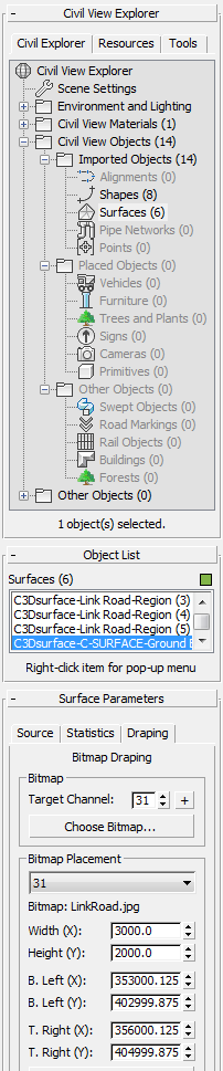
The upper part of the Explorer, the Civil View Explorer rollout, gives an overview of the scene environment, objects in the scene, and other resources. The lower part of the explorer is context sensitive, and shows controls for objects that are currently selected.
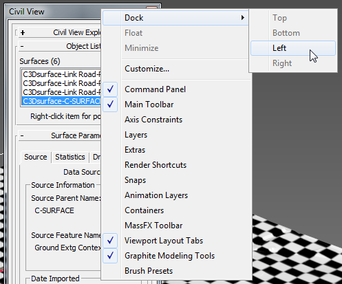
Tip: You can dock the Explorer at the left of the 3ds Max window by right-clicking the title bar and choosing Dock Left. This is convenient if you are going to be working with Civil View for a length of time.
Drape the bitmap:
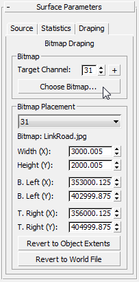
- On the Explorer, scroll so you have a good view of the Surface Parameters rollout, then click the Draping tab.
The Draping tab has controls for applying a bitmap to a surface.
It also has controls for placing the bitmap, but in this case bitmap placement is provided by a file named linkroad.jgw. This is known as a world file. The world file must have the same name as the bitmap ( linkroad.jpg), and a file name extension that matches the bitmap type: For a JPG file, the world file name extension is JGW. A world file contains text-based coordinates, and typically it is provided by the creator of the aerial image.
- In the Draping tab Bitmap group, click Choose Bitmap.
3ds Max opens a file dialog.
- In the
/tutorials/sceneassets/images
folder, choose the file
linkroad.jpg,
then click Open.
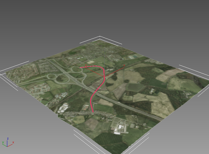
This bitmap is an aerial image of a portion of countryside.
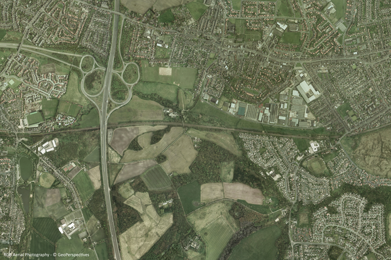
Copyright © by GeoPerspectives™
3ds Max asks if you want to display the bitmap in viewports.
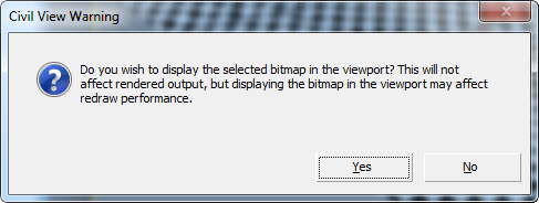
- Click Yes.
Now the image appears on the ground plane, putting the roadway in context.
Save your work:
- Save the scene as my_roadway_draped.max.