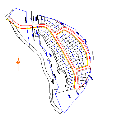
LandXML data can be imported and converted to objects. LandXML is the standard XML data format for civil engineering and survey data used in the land development and transportation industries. LandXML provides a data format suitable for long-term data archiving and offers a standard format for electronic design submission.
With LandXML, building professionals can extend the downstream value of their data from design to construction, and for scheduling and maintenance by using a format that can be read by many applications.
LandXML files are based on the LandXML schema, an XML schema definition for civil and survey data.

Residential area layout from Autodesk Land Desktop
You cannot convert AutoCAD Architecture 2022 toolset objects to LandXML data or export DWG files to the LandXML format.