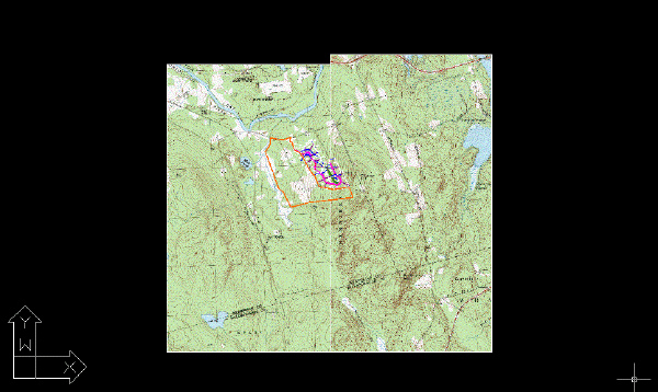
In this exercise you simultaneously insert two USGS quad sheets into a drawing.
The quad sheets are for adjacent areas and have correlation data that position the images next to each other when they are inserted.
Related Exercises
Before doing this exercise, ensure that AutoCAD Raster Design toolset options are set as described in the exercise Exercise A1: Setting AutoCAD Raster Design Toolset Options.
Exercise
- In the \Tutorial5 folder, open the drawing file
Map_10.dwg.
Choose multiple images
- To display the
Insert Image dialog box, click
Raster
 Insert.
- From the Files of Type list, choose TIFF.
- If necessary, navigate to the \Tutorial5 folder.
- Select the image file henniker_crop.tif, then hold down the Ctrl key and select hopkinton_crop.tif.
- On the
Views menu verify that
Preview and
Information are checked.
Because you selected multiple images, a preview is not displayed and the list of parameters contains no values.
Insert the images using the default correlation values
- In the Insert Options area, click Quick Insert.
- Click
Open to insert the images.
AutoCAD Raster Design toolset detects the presence of world correlation files for these images and uses them to insert and position the images.

View the images
- If necessary, use the REGEN command to restore the display order.
- Close the drawing without saving changes.