General options tab
This tab controls the formatting of numerical values, station/chainage values, and angles in outgoing reports and in the Project Explorer user interface.
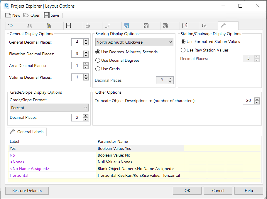
Display unit options
Allows the number of decimal places to be specified for elevations, slopes/grades, areas, volumes, and other numeric values.
Station/chainage display options
There are two ways of controlling the formatting of station/chainage values in Project Explorer. You can either allow Project Explorer to control the formatting, or you can use the current formatting settings from Civil 3D.
- Use Formatted Station Values- Use this option if you would like to apply the current Civil 3D station/chainage formatting settings to your reports or to the Project Explorer user interface.
- Use Raw Station Values- Use this option if you would like Project Explorer to independently control the formatting of station/chainage values. The advantage of using this setting is that different formatting settings may be applied to each outgoing report and to the Project Explorer user interface itself without modifying the station/chainage formatting settings in Civil 3D itself.
Bearing display options
Allows the azimuth, direction, and format of all bearing/angle values to be specified.
As well as allowing values to be formatted in either decimal degrees or degrees, minutes and seconds, - angles can be measured in a clockwise or counter-clockwise direction from either a north or south azimuth.