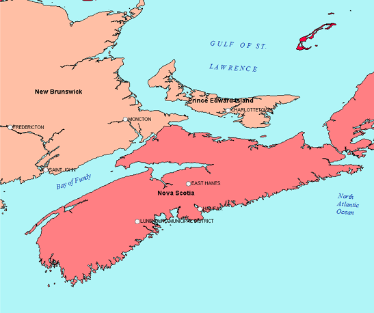
Text layers allow you to control the placement and appearance of text very precisely. The labels that are generated automatically for features on the map are placed dynamically and shift position as you zoom in and out. This is useful for maps that are intended for viewing on the web using Autodesk Infrastructure Map Server. For plotted or printed map sheets, text layers may be more appropriate.

The blue text has been created on a text layer.
Each text layer is its own feature class, and is stored in its own SDF file in a particular coordinate system. A single text layer can contain multiple text features. For example, you might create features that represent individual lines in a map title.
Once you add and check in text features, you can use the text again in another map. You connect to a text layer SDF file as you would to any SDF file. You can join a text layer to data within the same data store as the text layer. For example, if you create the text layer in an SDF file that already contains a feature class, you can join the text layer to that feature class.
You can edit existing text features to change their contents or style. Text layer style settings (which apply to the entire layer) are stored with the layer. Style overrides (which apply only to a specific text feature) are stored with that feature in the SDF file. You can also turn visibility on or off for a text layer.