Activate the Autodesk Connector for ArcGIS to add data layers from ArcGIS Online and/or Enterprise datasets.
With your ESRI user credentials you can connect to any ArcGIS online datasets that you have permissions to use, and add data layers directly to your AutoCAD Map 3D drawings as configured features.
- Click

 .
.

In the login page, sign in with your ESRI Online or Enterprise credentials.
- In the Autodesk Connector for ArcGIS window, navigate to your area of interest.
- Enter a location name, address, or point of interest in the search box. You can also enter longitudinal and latitudinal coordinates.
- Use the mouse to pan and zoom, or use the zoom tools (+/- buttons) to further refine your search.
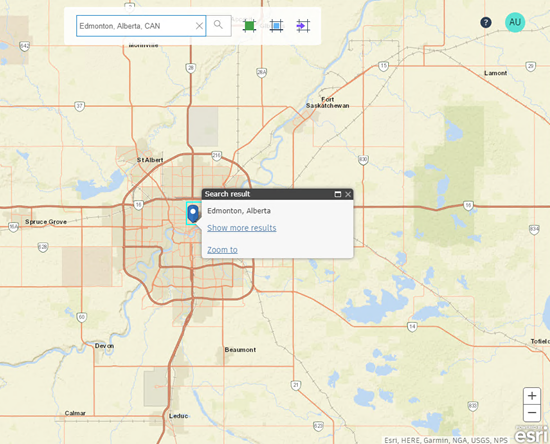
- Select the area of interest using any of the following methods:
- Click
 to select the current map extents.
Note: This is the default selection method.
 - Click
 to draw a rectangular area of interest on the map.
- Click
 to import a polygonal area of interest from a SHP file.
If you draw or import the area of interest, it is displayed as a boundary box.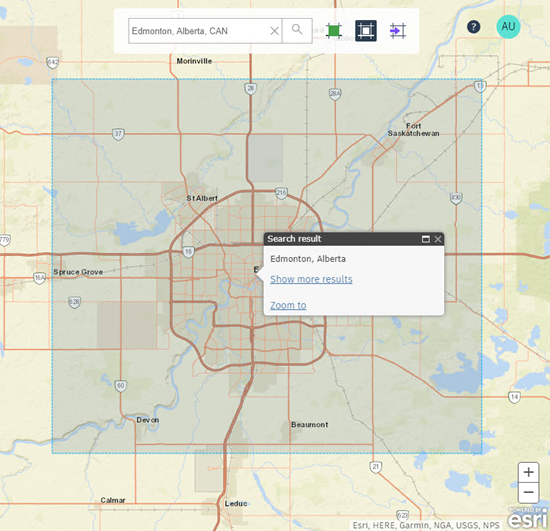
- Click
- Browse available datasets for the selected area of interest using the Public, My Content, My Groups, and Organization filters.
See the ArcGIS Online Help to understand how to find and work with your ArcGIS Online content.
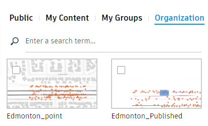 Note: If you do not see any available datasets, try zooming out from your area of interest.
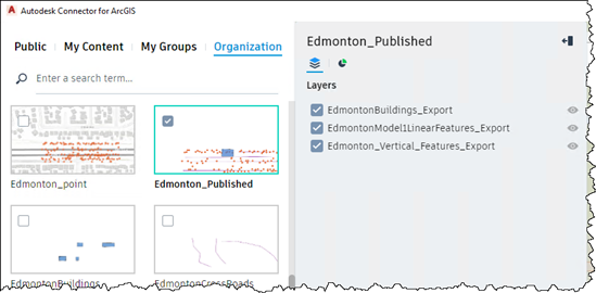
 - Select the datasets that you want to work with.
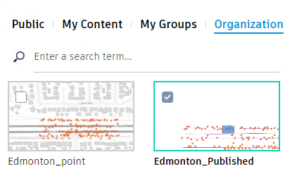
- In the Layers tab for each selected dataset, select the data layers that you want to add to your Map 3D drawings.
- Click Add to my design project.
The ArcGIS data layers are added to your Map 3D drawings.