Learn about new features in this release of AutoCAD Map 3D 2023 toolset. For technical details, see the release notes.
Highlights
Other enhancements
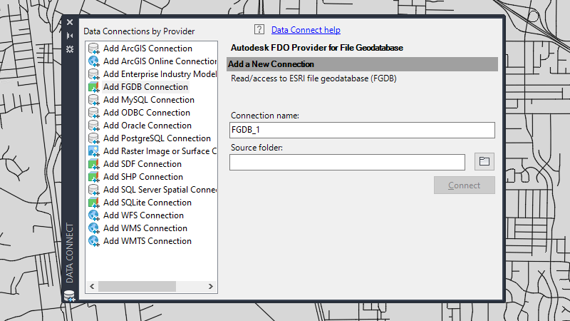
Extended support for the following FDO providers to newer version: Oracle 21c (21.3)
Note:
- Oracle 21c supports only container databases. When working with industry models, the Spatial System User (MDSYS) needs to be created in CDB$ROOT container and Map 3D System User (MAPSYS) needs to be created in pluggable database.
- Due to a known problem that exists from Oracle 12.2, you are recommended to configure the system when working with the industry models job in Oracle 12.2 or later versions.
- Run the SQL command.
ALTER SYSTEM SET "_allow_insert_with_update_check"=TRUE scope=spfile
- Restart the database.
- Run the SQL command.
The following customer issues have been resolved in AutoCAD Map 3D 2023 toolset.
- Industry Models
- Create Template Subfolder function is added in the Industry Model Plot Explorer.
- When you press F5 or click Refresh in Map 3D, changes to forms or views definition made in Infrastructure Administrators are now reflected in Map 3D.
- The order of layer groups is now saved correctly in the display model.
- Creating a new Feature from Geometry can now populate the Z attribute value for the point features.
- For Industry Model based on SQLite, feature labels can now be inserted in the correct position.
- In Infrastructure Administrator, ORA-13346 errors from importing the industry model oracle dmp to Oracle 19c can now be fixed through 1-Click-Maintenance.
- In Infrastructure Administrator, running some intersection no longer stops before completion.
- FDO ArcGIS
- For connections whose underlying relational database management system is SQL Server, a new option “Windows Authentication” is provided in the Login dialog box.
- ArcSDE Enterprise connection no longer breaks when reopening a drawing with FDO ArcGIS connection to ArcSDE Enterprise.
- Label
- Labels with ghosting color frame are displayed correctly in layout view.
- Feature labels no longer disappear when rotating the North Arrow or using the DVIEW command.
- MAPTOACAD
- FDO point symbols can be exported in correct scale when using MAPTOACAD with DWT.
- When a drawing with FDO layer stylization uses a symbol that's also inserted as a general block, exporting data using MAPTOACAD retains the layer name.
- eTransmit: Creating an eTransmit package for some drawings no longer causes AutoCAD Map 3D to crash.
- FDO WFS: Connecting to some WFS servers no longer causes the “400 Bad Request” error.
- FDO SQL Server: Moving a label linked to an SQL Server view and then saving the drawing can now be reopened without encountering a crash.
- FDO WMTS: Connection issues for some WMTS URLs have been fixed.
- FDO WMS: WMS from the French Government is now readable with AutoCAD Map 3D.
- FDO PostgreSQL: New Feature from Geometry now works correctly.
- Commands: MAPTRIM command now works and can trim the 2D polyline successfully.
- Import and Export: Drawings now keep the projection code after using MAPIMPORTFDO from Oracle with spatial filter.
- Feature Tooltips: Hyperlinks with https in the feature tooltips are now accessible.
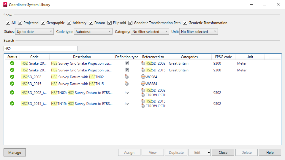
- Coordinate System: A Russian string in CSD file no longer creates an empty category list in the coordinate system library.


