When a civil engineer or a landscape architect creates topography data for a project and you want to reference it for a building model, you can link the topography to Revit.
To use topography data provided by a civil engineer (or a landscape architect), use the following workflow.
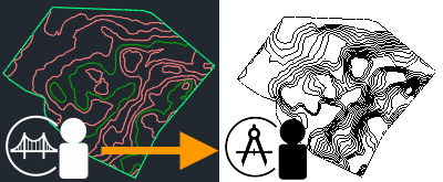
- The civil engineer uses
Civil 3D to do the following:
- Develop the topography.
- Publish surfaces to a Autodesk Docs project.
- The project lead uses
Autodesk Docs to do the following:
- Verify the topography data.
- Share the topography with the architect.
- The architect uses
Revit to do the following:
- Link the topography to the Revit model.
- Reference the topography while developing the building model.
- After updating the topography, the civil engineer publishes its surfaces to the same Autodesk Docs project.
- To see the updates, the architect reloads the linked topography in the Revit model.