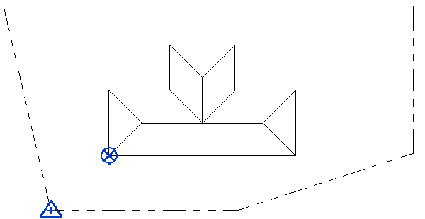
Use the project base point and the survey point to provide context for the model.
- The project base point
 defines the origin (0,0,0) of the project coordinate system. Use the project base point as a reference point for measurements across the site.
- The survey point
 identifies a real-world location near the model, such as a corner of the project site or the intersection of 2 property lines. It defines the origin of the survey coordinate system, which provides a real-world context for the model.
