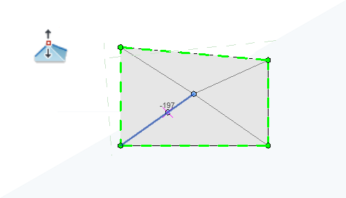
Set how elevations are measured during shape editing in the contextual ribbon. Elevations are displayed near the cursor during editing, making it easier to edit accurately.

When adding points during shape editing, use the Elevation Base setting to define the relative elevation of the point. You can choose to measure elevations from:
- Current Level
- Project Base Point
- Survey Point
- Internal Origin
You can determine whether the points are added at an absolute elevation from the selected datum, or offset a specified distance from the existing surface.
While shape editing, the elevation of the surface positioned directly under the cursor is displayed near the cursor. Use this display to help you more accurately make shape edits to elements in your model.
For additional information, see Modify the Shape of an Element.