 Copyright Statement
Portions of this computer program are owned by Precisely. Copyright © 2020 Precisely. All Rights Reserved.
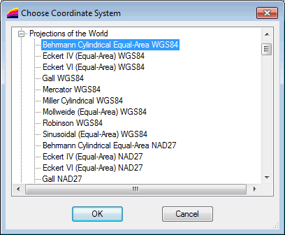
This dialog is used to:
- Set the projected coordinate system for the GeoPlan. It is displayed when you click
 in the Select Coordinate System dialog. See
Selecting the Coordinate System for details.
Note: Although the coordinate system list for a MapXtreme map control includes 'Longitude and Latitude' options, these are geographic not projected coordinate systems and therefore should not be selected for use in InfoWorks ICM.
 - Change the coordinate system for a shape file layer. It is displayed when you click
 in the
GIS Layer Control dialog, and lets you change the coordinate system for a shape file. See below for details.

Change the projection system for a shape file layer
- Select the layer of interest in the GIS Layer Control dialog.
- Click
 located adjacent to the Projection box. The
Choose Coordinate System dialog is displayed.
- Select the desired projection system and click OK.
- The following warning message may be displayed to let you know that changes will be applied immediately :
- Click Yes to continue. The new selected coordinate system is applied to the layer and appears in the Projection box.
- Or click No to abort and close the dialog. The projection system has not been changed for the layer.
