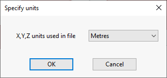
This dialog is displayed when importing a TIN ground model from Arc/Info TIN, Esri Shape, 12DA or XPTIN file format:
The items contained in the dialog are described below:
| Item | Description |
|---|---|
| X,Y,Z units used in file |
A dropdown list from which you can select the type of units used in the file being imported. |
| OK |
Confirms the choice of units in the X,Y,Z units used in the file field, and closes the dialog. |
| Cancel | Cancels the operation and closes the dialog. |