| GeoPlan Layer
|
GIS data currently loaded as an
additional layer on the GeoPlan.
|
|
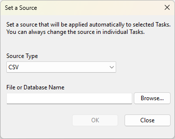
CSV
|
A text file with the fields separated by commas.
|
|
Tab Separated Data
|
A text file with the fields separated by tab characters.
|
|
JET/Access Database
|
An Access (.mdb) database (also sometimes known as 'Jet database')
|
|
Oracle
|
For importing from Oracle databases.
The minimum version of Oracle supported for import without spatial data is Oracle 8i. To import spatial data a minimum version of Oracle 9.2 is required.
The following Oracle spatial geometries are supported or partially supported for import:
- Point
- Oriented Point - orientation vector is ignored
- Multi-Point - first point only imported
- Point Cluster - first point only imported
- Line String - supported where points are connected only by straight lines
- Polygon - supported where the boundary is connected only by straight lines or where it is a rectangle
- Multi-Polygon - first polygon (connected by straight lines or a rectangle) only imported
- Collection - first compatible element only imported (if present)
- Multi-Line String - first line string only imported
The following Oracle spatial geometries are not currently supported for import:
- Line Strings where the points are connected by arcs
- Compound Line Strings
- Polygons where the boundary is connected by arcs or is a circle
- Compound Polygons
- Complex Collections
|
| SQL Server
|
For importing data from a Microsoft SQL Server database, via the OLE DB Driver for SQL Server. See
Select SQL Server Data dialog for connection details.
|
|
Raw Shape File
|
Data in the
ESRI shapefile format.
Imports shape files directly instead of using any map control.
|
|
XML Format Data
|
A text file formatted in the eXtensible Markup Language.
|
| JSON
|
A JSON file contains a number of tables. The JSON object within the file contains a number of arrays of objects (one array per table).
|
| File GeoDatabase
|
A format for storing GIS data developed by
ESRI.
Use this option to import data from File GeoDatabases. This option imports ESRI shapefile (SHP) folders.
Note: This option is only available for 64 bit versions of
InfoWorks®
WS Pro .
|