About Model Data
Instead of manually importing data from a file or database source, you can use the Model Builder to generate a model for you. You can also use the Autodesk Connector for ArcGIS to add online ArcGIS data layers to your InfraWorks models as features.
In an InfraWorks model, the terrain (elevation data) represents the land upon which the model is built. Surface layers are draped to the terrain. When adding data to your InfraWorks model, you can specify "Don't Drape" for features that you don't want to drape to the terrain.
As a best practice if you are creating a model manually, start by importing and configuring a terrain layer. See About Importing Data.
| Data Layers | Example | Notes |
|---|---|---|
| Terrain (elevation) | 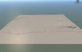 |
Raster-based data (grids) or vector-based data (TIN or contour files) are supported for terrain data. See To import terrain. Multiple surface or sub-surface terrain layers are also supported. See To manage surface layers. |
| Terrain and Water Areas | 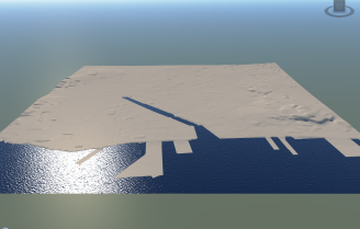 |
Water areas are represented by coverages and draped on the terrain. - You can sketch or import coverages. Closed polyline coverages represent moving water bodies such as rivers, creeks, and streams. Polygonal coverages represent more static bodies of water like oceans, seas, and lakes. See To import bodies of water. |
| Terrain and Aerial Imagery (Orthography) | 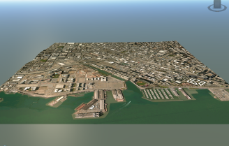 |
Aerial imagery is draped on the terrain. See To import ground imagery. |
| Terrain and Transportation Data (Roads and Railways) | 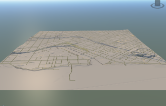 |
Roads and railways are draped on the terrain. You can sketch or import roads and railways. Imported roads and railways are represented in InfraWorks as planning roads and railways, which only support basic geometry. This is also true for models that were created by the Model Builder. With Roadway Design for InfraWorks, you can convert planning roads to component roads and work with more advanced road and railway geometry. See About Component Roads and Planning Roads. |
| Terrain and Building Data | 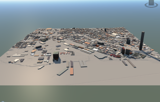 |
Buildings are draped on the terrain. You can sketch or import buildings. Configure imported buildings data to specify desired settings such as roof height, roof material, building facade, and base color. See To import buildings. |
| 3D Model Data | 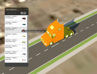 |
You can add 3D models such as solar arrays, vehicles, trees, barriers, street decorations, and so forth to your designs. You can also add animated 3D models to your model. You can sketch or import 3D models. Sketch 3D models through the Style Palette. Import 3D model data for different feature class types. Edit a style to add 3D model decorations to that style. Import or sketch animated 3D objects. See To import 3D models. |
| Terrain, Water Areas, Aerial Imagery, Transportation Data, Building Data, and 3D models (City Furniture, Trees, and so forth.) | 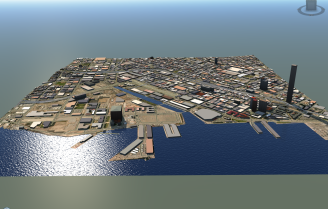 |
Use the Model Explorer to control the visibility, display, and selectability of different model data. |