
 When creating a map, you can add raster images and surfaces to the display.
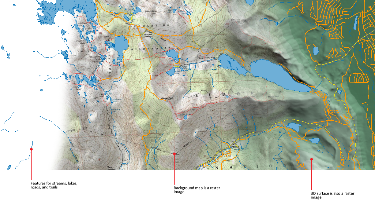
Adding one or more images in the background of your map adds context and gives the map visual appeal.
| Raster Type | Formats |
|---|---|
| Raster-based surfaces | DEM (Digital Elevation Model), ESRI Grid, or Digital Terrain Elevation Data (DTED) |
| 2D raster | JPEG and JPEG2K (Joint Photographic Experts Group), PNG (Portable Network Graphic), MrSID (Multi-Resolution Seamless Image Database), TIFF (Tagged Image File Format), ECW (Enhanced Compressed Wavelet) |
| WMS raster | Maps on a server |
| WMTS raster | Maps on a server delivered by image tiles |
| Other raster formats | BMP, CALS-I, ECW, FLIC, GeoSPOT, IG4, IGS, IKONOS, JFIF, LANDSAT FAST, L7A, NITF, PCX, PICT, Quickbird TIFF, RLC 1 and 2 , TARGA |
Note: Layers in the map are rendered based on the draw order of the layers in
Display Manager. To display drawing objects in front of the raster image, put the raster image layer at the bottom of the list.